Steady ride in Bow
- 41.9 km
- 90 m
- 101 m
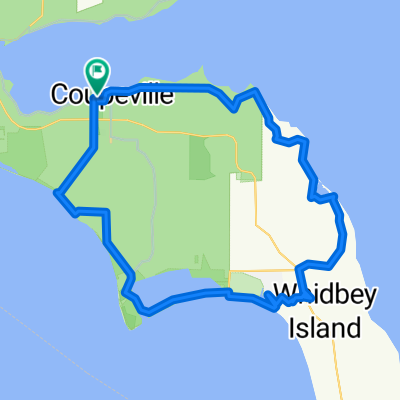
- Coupeville, Washington, United States
A cycling route starting in Coupeville, Washington, United States.
Overview
Fort Casey-ferry to Port Townsend-Glen Cove-Adelma Beach-Chimacum-Hood Canal floating bridge-Port Gamble-Poulsbo-Scandia-Silverdale-Chico-Navy Yard City-Bremerton-ferry to Seattle-City Hostel Seattle
created this 15 years ago
Continue with Bikemap
You would like to ride 029a panamericana or customize it for your own trip? Here is what you can do with this Bikemap route:
Free trial for 3 days, or one-time payment. More about Bikemap Premium.
Discover more Premium features.
Get Bikemap PremiumFrom our community
Open it in the app