

To Cindy's House - TransCanTrail - 14km
A cycling route starting in Winnipeg, Manitoba, Canada.
Overview
About this route
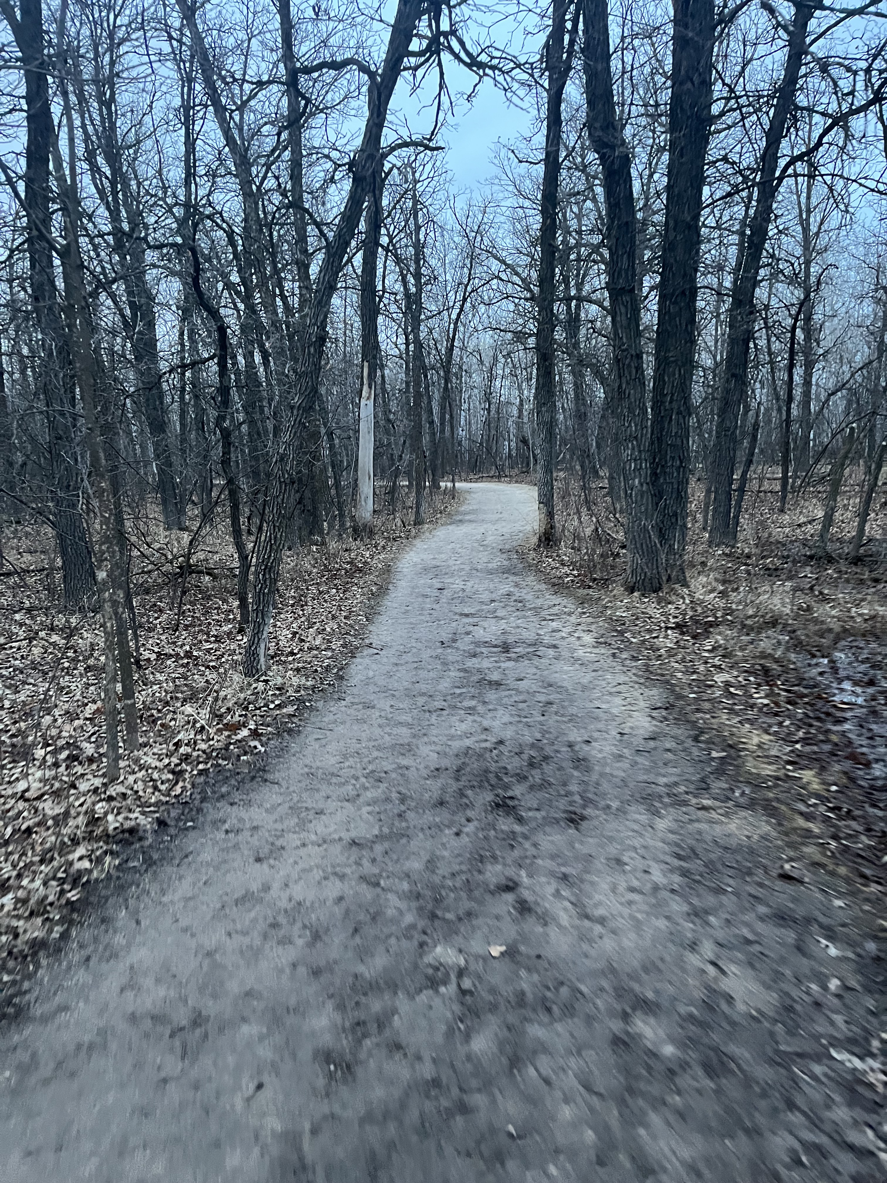
FortWhyte-cross wilkes into AssForest then left to Trans Canada trail - get off on Charleswood Rd Left on Betsworth, Right on Buckle turns into Malone - 14.3km, 53min one way
- -:--
- Duration
- 14.3 km
- Distance
- 12 m
- Ascent
- 8 m
- Descent
- ---
- Avg. speed
- ---
- Max. altitude

Route quality
Waytypes & surfaces along the route
Waytypes
Cycleway
8.5 km
(60 %)
Quiet road
4.4 km
(31 %)
Surfaces
Paved
2.4 km
(17 %)
Unpaved
3.1 km
(22 %)
Gravel
2.8 km
(19 %)
Paved (undefined)
1.9 km
(14 %)
Continue with Bikemap
Use, edit, or download this cycling route
You would like to ride To Cindy's House - TransCanTrail - 14km or customize it for your own trip? Here is what you can do with this Bikemap route:
Free features
- Save this route as favorite or in collections
- Copy & plan your own version of this route
- Sync your route with Garmin or Wahoo
Premium features
Free trial for 3 days, or one-time payment. More about Bikemap Premium.
- Navigate this route on iOS & Android
- Export a GPX / KML file of this route
- Create your custom printout (try it for free)
- Download this route for offline navigation
Discover more Premium features.
Get Bikemap PremiumFrom our community
Other popular routes starting in Winnipeg
 Wolseley ride
- Distance
- 15.4 km
- Ascent
- 16 m
- Descent
- 18 m
- Location
- Winnipeg, Manitoba, Canada
 Hearthwood Grove, Winnipeg to Hearthwood Grove, Winnipeg
- Distance
- 13 km
- Ascent
- 73 m
- Descent
- 76 m
- Location
- Winnipeg, Manitoba, Canada
 I fell 💪
- Distance
- 15.9 km
- Ascent
- 420 m
- Descent
- 230 m
- Location
- Winnipeg, Manitoba, Canada
 Portage Ave W, Winnipeg to Jeannette Bay, Winnipeg
- Distance
- 5.7 km
- Ascent
- 9 m
- Descent
- 7 m
- Location
- Winnipeg, Manitoba, Canada
 Riverview/Lord Roberts Community Garden Tour
- Distance
- 6.7 km
- Ascent
- 15 m
- Descent
- 15 m
- Location
- Winnipeg, Manitoba, Canada
 Infrastructure Tour
- Distance
- 10.6 km
- Ascent
- 68 m
- Descent
- 65 m
- Location
- Winnipeg, Manitoba, Canada
 Forks Route
- Distance
- 9.6 km
- Ascent
- 45 m
- Descent
- 44 m
- Location
- Winnipeg, Manitoba, Canada
 South St. Vital Loop
- Distance
- 14.8 km
- Ascent
- 18 m
- Descent
- 16 m
- Location
- Winnipeg, Manitoba, Canada
Open it in the app