
041 panamericana
A cycling route starting in Boulder Creek, California, United States of America.
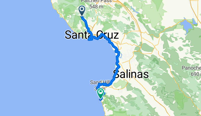
Overview
About this route
boulder creek-henry cowell redwood park-natural bridges-santa cruz-opal cliffs-rio del mar-moss landing-marina-monterey-del monte forest-point lobos-camel highlands
- -:--
- Duration
- 142.6 km
- Distance
- 573 m
- Ascent
- 702 m
- Descent
- ---
- Avg. speed
- ---
- Max. altitude
Continue with Bikemap
Use, edit, or download this cycling route
You would like to ride 041 panamericana or customize it for your own trip? Here is what you can do with this Bikemap route:
Free features
- Save this route as favorite or in collections
- Copy & plan your own version of this route
- Split it into stages to create a multi-day tour
- Sync your route with Garmin or Wahoo
Premium features
Free trial for 3 days, or one-time payment. More about Bikemap Premium.
- Navigate this route on iOS & Android
- Export a GPX / KML file of this route
- Create your custom printout (try it for free)
- Download this route for offline navigation
Discover more Premium features.
Get Bikemap PremiumFrom our community
Other popular routes starting in Boulder Creek
 Low-Key Hillclimb: Boulder Creek to Saratoga Gap
- Distance
- 21.9 km
- Ascent
- 813 m
- Descent
- 170 m
- Location
- Boulder Creek, California, United States of America
 Boulder Creek loop
- Distance
- 21.6 km
- Ascent
- 793 m
- Descent
- 791 m
- Location
- Boulder Creek, California, United States of America
 berry creek falls loop
- Distance
- 14 km
- Ascent
- 576 m
- Descent
- 583 m
- Location
- Boulder Creek, California, United States of America
 13420 Big Basin Hwy, Boulder Creek nach Monterey Bay Coastal Trail, Monterey
- Distance
- 100.8 km
- Ascent
- 821 m
- Descent
- 968 m
- Location
- Boulder Creek, California, United States of America
 041 panamericana
- Distance
- 142.6 km
- Ascent
- 573 m
- Descent
- 702 m
- Location
- Boulder Creek, California, United States of America
 2022_02_Boulder Creek - Monterey
- Distance
- 95.6 km
- Ascent
- 1,053 m
- Descent
- 1,194 m
- Location
- Boulder Creek, California, United States of America
 classic gazo a go go
- Distance
- 21 km
- Ascent
- 536 m
- Descent
- 587 m
- Location
- Boulder Creek, California, United States of America
 boulder creek big basin skyline
- Distance
- 37.8 km
- Ascent
- 1,006 m
- Descent
- 341 m
- Location
- Boulder Creek, California, United States of America
Open it in the app