

Lengenwang-Runde im OAL
A cycling route starting in Obergünzburg, Bavaria, Germany.
Overview
About this route
72 km lange mittelschwere Radlrunde mit einigen Steigungen,flotten Abfahrten,gemütlichen Flachstrecken in landschaft schöner Umgebung.Höhenmeter ca.800.
- -:--
- Duration
- 72.2 km
- Distance
- 700 m
- Ascent
- 654 m
- Descent
- ---
- Avg. speed
- 862 m
- Avg. speed
Route quality
Waytypes & surfaces along the route
Waytypes
Quiet road
49.1 km
(68 %)
Road
9.3 km
(13 %)
Surfaces
Paved
30.5 km
(42 %)
Unpaved
1.3 km
(2 %)
Asphalt
29.1 km
(40 %)
Paved (undefined)
1.4 km
(2 %)
Continue with Bikemap
Use, edit, or download this cycling route
You would like to ride Lengenwang-Runde im OAL or customize it for your own trip? Here is what you can do with this Bikemap route:
Free features
- Save this route as favorite or in collections
- Copy & plan your own version of this route
- Sync your route with Garmin or Wahoo
Premium features
Free trial for 3 days, or one-time payment. More about Bikemap Premium.
- Navigate this route on iOS & Android
- Export a GPX / KML file of this route
- Create your custom printout (try it for free)
- Download this route for offline navigation
Discover more Premium features.
Get Bikemap PremiumFrom our community
Other popular routes starting in Obergünzburg
 Lengenwang-Runde im OAL
- Distance
- 72.2 km
- Ascent
- 700 m
- Descent
- 654 m
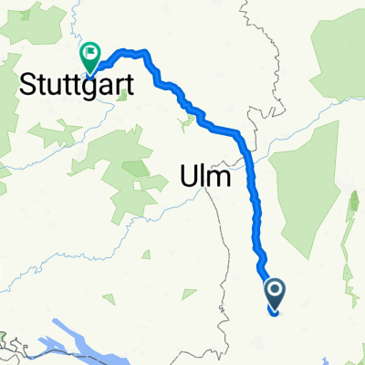
- Location
- Obergünzburg, Bavaria, Germany
 Berg - Eschenau - 1. Tour 2016 - 89,94
- Distance
- 90 km
- Ascent
- 754 m
- Descent
- 815 m
- Location
- Obergünzburg, Bavaria, Germany
 Obg- Aitrang-Uth-Obg
- Distance
- 32.5 km
- Ascent
- 273 m
- Descent
- 273 m
- Location
- Obergünzburg, Bavaria, Germany
 Oberguenzburg
- Distance
- 43.7 km
- Ascent
- 356 m
- Descent
- 356 m
- Location
- Obergünzburg, Bavaria, Germany
 Obergünzburg Schmieden
- Distance
- 208.2 km
- Ascent
- 718 m
- Descent
- 1,219 m
- Location
- Obergünzburg, Bavaria, Germany
 Rohrmoos Bodensee
- Distance
- 206.1 km
- Ascent
- 1,339 m
- Descent
- 1,338 m
- Location
- Obergünzburg, Bavaria, Germany
 Obergünzburg-Rettenbach-Oberegg
- Distance
- 39.3 km
- Ascent
- 687 m
- Descent
- 687 m
- Location
- Obergünzburg, Bavaria, Germany
 2016_T4_Ostallgäu_Buchloe
- Distance
- 74.5 km
- Ascent
- 226 m
- Descent
- 364 m
- Location
- Obergünzburg, Bavaria, Germany
Open it in the app