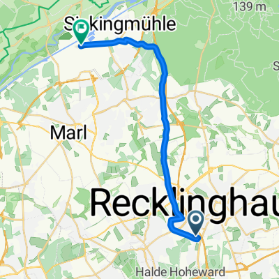
Recklinghausen - Marl - Wesel-Datteln-Kanal - Bossendorf - Haard - Recklinghausen
A cycling route starting in Recklinghausen, North Rhine-Westphalia, Germany.
Overview
About this route
GroĂźe Teile der Strecke fĂĽhren durch Felder und Waldgebiete. Lippe Deich (Lippeaue) teilweise fertiggestellt und befahrbar (Mai 2021). Man kann die neuen fertigen Wege benutzen. Der Anstieg in der Haard ist fĂĽr sportliche Radfahrer oder Radfahrer mit Pedelec oder e-bike kein Problem.Â
Â
- -:--
- Duration
- 55.3 km
- Distance
- 212 m
- Ascent
- 208 m
- Descent
- ---
- Avg. speed
- ---
- Avg. speed
Route quality
Waytypes & surfaces along the route
Waytypes
Quiet road
20.9 km
(38 %)
Track
12.7 km
(23 %)
Surfaces
Paved
27.5 km
(50 %)
Unpaved
19.2 km
(35 %)
Asphalt
24.6 km
(44 %)
Gravel
12.6 km
(23 %)
Continue with Bikemap
Use, edit, or download this cycling route
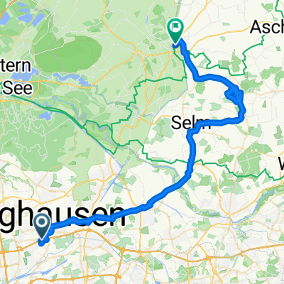
You would like to ride Recklinghausen - Marl - Wesel-Datteln-Kanal - Bossendorf - Haard - Recklinghausen or customize it for your own trip? Here is what you can do with this Bikemap route:
Free features
- Save this route as favorite or in collections
- Copy & plan your own version of this route
- Sync your route with Garmin or Wahoo
Premium features
Free trial for 3 days, or one-time payment. More about Bikemap Premium.
- Navigate this route on iOS & Android
- Export a GPX / KML file of this route
- Create your custom printout (try it for free)
- Download this route for offline navigation
Discover more Premium features.
Get Bikemap PremiumFrom our community
Other popular routes starting in Recklinghausen
- LiebfrauenstraĂźe, Recklinghausen nach Michaelisplatz, MĂĽnster
- Distance
- 184.4 km
- Ascent
- 616 m
- Descent
- 625 m
- Location
- Recklinghausen, North Rhine-Westphalia, Germany
- Rund Recklinghausen
- Distance
- 20.9 km
- Ascent
- 117 m
- Descent
- 117 m
- Location
- Recklinghausen, North Rhine-Westphalia, Germany
- Recklinghausen Runde
- Distance
- 38.7 km
- Ascent
- 205 m
- Descent
- 202 m
- Location
- Recklinghausen, North Rhine-Westphalia, Germany
- Marl Sinsen, Halterner StraĂźe 16 - Flaesheim - Marl Sinsen
- Distance
- 26 km
- Ascent
- 253 m
- Descent
- 250 m
- Location
- Recklinghausen, North Rhine-Westphalia, Germany
- Haard Flaes Dat (48)
- Distance
- 48.6 km
- Ascent
- 136 m
- Descent
- 140 m
- Location
- Recklinghausen, North Rhine-Westphalia, Germany
- Recklinghausen Lohtor – Rodelberg – Flugplatz Lobmühle – Vestischer Golfclub – Loemühle – Scherlebeck (Spargelhöfe in der Ried) – Recklinghausen Lohtor
- Distance
- 19 km
- Ascent
- 123 m
- Descent
- 125 m
- Location
- Recklinghausen, North Rhine-Westphalia, Germany
- Von RE zum Rundkurs Unser-Fritz Ruhr nach Essen
- Distance
- 70.3 km
- Ascent
- 252 m
- Descent
- 249 m
- Location
- Recklinghausen, North Rhine-Westphalia, Germany
- RE - 42 km - Radtour zu "Jupp unner de Böcken"
- Distance
- 41.8 km
- Ascent
- 279 m
- Descent
- 275 m
- Location
- Recklinghausen, North Rhine-Westphalia, Germany
Open it in the app