Rodeando el Sangusín
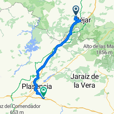
A cycling route starting in Valdehijaderos, Castille and León, Spain.
Overview
About this route
Route through the trails in the Sangusín valley. Ideal for autumn.
- -:--
- Duration
- 50.3 km
- Distance
- 490 m
- Ascent
- 492 m
- Descent
- ---
- Avg. speed
- ---
- Max. altitude
Route quality
Waytypes & surfaces along the route
Waytypes
Track
37.2 km
(74 %)
Road
10.1 km
(20 %)
Surfaces
Paved
10.6 km
(21 %)
Unpaved
37.2 km
(74 %)
Ground
31.2 km
(62 %)
Asphalt
10.1 km
(20 %)
Continue with Bikemap
Use, edit, or download this cycling route
You would like to ride Rodeando el Sangusín or customize it for your own trip? Here is what you can do with this Bikemap route:
Free features
- Save this route as favorite or in collections
- Copy & plan your own version of this route
- Sync your route with Garmin or Wahoo
Premium features
Free trial for 3 days, or one-time payment. More about Bikemap Premium.
- Navigate this route on iOS & Android
- Export a GPX / KML file of this route
- Create your custom printout (try it for free)
- Download this route for offline navigation
Discover more Premium features.
Get Bikemap PremiumFrom our community
Other popular routes starting in Valdehijaderos
Valdehijaderos 2- Distance
- 116.1 km
- Ascent
- 1,894 m
- Descent
- 1,895 m
- Location
- Valdehijaderos, Castille and León, Spain
Via de la Plata 7.dan: La Calzada - Salamanca- Distance
- 79.1 km
- Ascent
- 603 m
- Descent
- 586 m
- Location
- Valdehijaderos, Castille and León, Spain
2019-10-21- Distance
- 87.4 km
- Ascent
- 1,192 m
- Descent
- 1,157 m
- Location
- Valdehijaderos, Castille and León, Spain
Valdehijaderos 3- Distance
- 107.3 km
- Ascent
- 1,438 m
- Descent
- 1,440 m
- Location
- Valdehijaderos, Castille and León, Spain
Calzada - Fuenterroble- Distance
- 20.6 km
- Ascent
- 278 m
- Descent
- 116 m
- Location
- Valdehijaderos, Castille and León, Spain
Calzada de Béjar a Baños de Montemayor, con parada en embalse- Distance
- 23.5 km
- Ascent
- 377 m
- Descent
- 473 m
- Location
- Valdehijaderos, Castille and León, Spain
Calzada-Malpartida- Distance
- 72.1 km
- Ascent
- 937 m
- Descent
- 1,272 m
- Location
- Valdehijaderos, Castille and León, Spain
Valdehijaderos 4- Distance
- 100.9 km
- Ascent
- 2,278 m
- Descent
- 2,280 m
- Location
- Valdehijaderos, Castille and León, Spain
Open it in the app


