平溪→坪林→雙溪→平溪
A cycling route starting in Keelung, Taiwan, Taiwan.
Overview
About this route
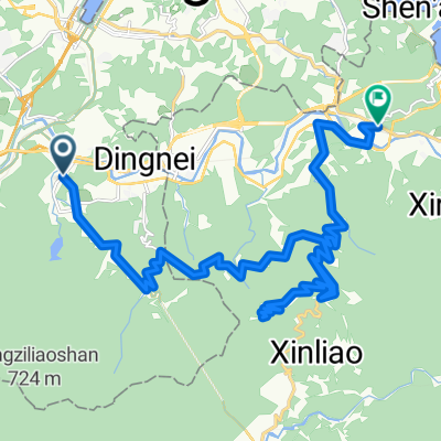
4+2行程,車停於平溪白鶯石,由東勢格派出所左轉紫來產業道路、接坪林環山路、下坪雙路至雙溪;由雙經騎台二丙回平溪。此行順道拜訪全台最多降雨地-火燒寮。
- -:--
- Duration
- 42.3 km
- Distance
- 1,126 m
- Ascent
- 1,175 m
- Descent
- ---
- Avg. speed
- ---
- Max. altitude
Continue with Bikemap
Use, edit, or download this cycling route
You would like to ride 平溪→坪林→雙溪→平溪 or customize it for your own trip? Here is what you can do with this Bikemap route:
Free features
- Save this route as favorite or in collections
- Copy & plan your own version of this route
- Sync your route with Garmin or Wahoo
Premium features
Free trial for 3 days, or one-time payment. More about Bikemap Premium.
- Navigate this route on iOS & Android
- Export a GPX / KML file of this route
- Create your custom printout (try it for free)
- Download this route for offline navigation
Discover more Premium features.
Get Bikemap PremiumFrom our community
Other popular routes starting in Keelung
- Bikemania _cycling around Formosa 09
- Distance
- 1,065.6 km
- Ascent
- 1,492 m
- Descent
- 1,592 m
- Location
- Keelung, Taiwan, Taiwan
- 瑞芳-五分山
- Distance
- 12.2 km
- Ascent
- 726 m
- Descent
- 44 m
- Location
- Keelung, Taiwan, Taiwan
- [三星]十分火車站到木柵動物園捷運站
- Distance
- 32.2 km
- Ascent
- 411 m
- Descent
- 547 m
- Location
- Keelung, Taiwan, Taiwan
- 汐定路勤進路
- Distance
- 17.6 km
- Ascent
- 514 m
- Descent
- 514 m
- Location
- Keelung, Taiwan, Taiwan
- 瑞平,平雙,瑞雙環行
- Distance
- 47.8 km
- Ascent
- 1,637 m
- Descent
- 1,393 m
- Location
- Keelung, Taiwan, Taiwan
- Day 15 基隆去台北
- Distance
- 83.8 km
- Ascent
- 217 m
- Descent
- 222 m
- Location
- Keelung, Taiwan, Taiwan
- 2012汐碇坪溪挑戰組
- Distance
- 77.7 km
- Ascent
- 1,705 m
- Descent
- 1,631 m
- Location
- Keelung, Taiwan, Taiwan
- 汐止-福隆
- Distance
- 45.2 km
- Ascent
- 1,157 m
- Descent
- 1,190 m
- Location
- Keelung, Taiwan, Taiwan
Open it in the app