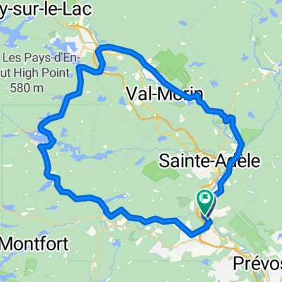
lost river CLONED FROM ROUTE 77070
- 91.7 km
- 680 m
- 680 m
- Saint-Sauveur, Quebec, Canada
A cycling route starting in Saint-Sauveur, Quebec, Canada.
Overview
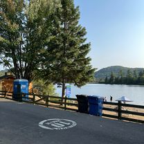
Beautiful route, not always restful
created this 17 years ago
Route quality
Road
35.3 km
(50 %)
Quiet road
5.7 km
(8 %)
Paved
62.2 km
(88 %)
Asphalt
60 km
(85 %)
Paved (undefined)
2.1 km
(3 %)
Undefined
8.5 km
(12 %)
Continue with Bikemap
You would like to ride ssv-st adolphe-ste agathe-ste adele-ssv or customize it for your own trip? Here is what you can do with this Bikemap route:
Free trial for 3 days, or one-time payment. More about Bikemap Premium.
Discover more Premium features.
Get Bikemap PremiumFrom our community
Open it in the app