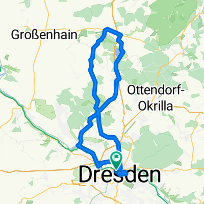
DD-Collm-Riesa-Keulenberg-DD
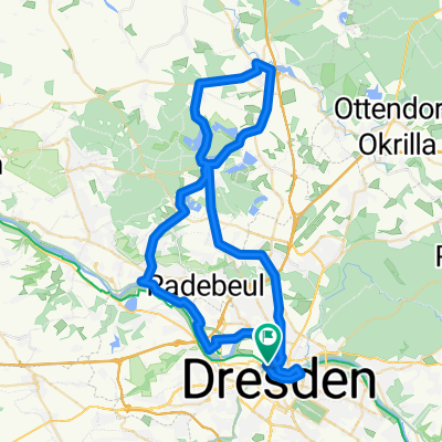
A cycling route starting in Dresden, Saxony, Germany.
Overview
About this route
Data from 30.08.2008
Route [km] 200.51 km
Time 06:14:50
Ø-Speed 32.10 km/h
Ø-Pulse 140 1/min
Resting Pulse 46 1/min
Altitude 1216 m
Power [W] 182 W
Hm/km 6.06
- -:--
- Duration
- 196.8 km
- Distance
- 1,000 m
- Ascent
- 904 m
- Descent
- ---
- Avg. speed
- 300 m
- Max. altitude
Route quality
Waytypes & surfaces along the route
Waytypes
Road
33.5 km
(17 %)
Quiet road
33.5 km
(17 %)
Surfaces
Paved
127.9 km
(65 %)
Unpaved
9.8 km
(5 %)
Asphalt
118.1 km
(60 %)
Gravel
7.9 km
(4 %)
Continue with Bikemap
Use, edit, or download this cycling route
You would like to ride DD-Collm-Riesa-Keulenberg-DD or customize it for your own trip? Here is what you can do with this Bikemap route:
Free features
- Save this route as favorite or in collections
- Copy & plan your own version of this route
- Split it into stages to create a multi-day tour
- Sync your route with Garmin or Wahoo
Premium features
Free trial for 3 days, or one-time payment. More about Bikemap Premium.
- Navigate this route on iOS & Android
- Export a GPX / KML file of this route
- Create your custom printout (try it for free)
- Download this route for offline navigation
Discover more Premium features.
Get Bikemap PremiumFrom our community
Other popular routes starting in Dresden
Dresden - Prag- Distance
- 217.2 km
- Ascent
- 388 m
- Descent
- 303 m
- Location
- Dresden, Saxony, Germany
DD-Collm-Riesa-Keulenberg-DD- Distance
- 196.8 km
- Ascent
- 1,000 m
- Descent
- 904 m
- Location
- Dresden, Saxony, Germany
Dresden - Stolpen -Rathen- Distance
- 54 km
- Ascent
- 447 m
- Descent
- 446 m
- Location
- Dresden, Saxony, Germany
cielab.org - Dresden - Bahratal - Mückentürmchen- Distance
- 130 km
- Ascent
- 1,524 m
- Descent
- 1,516 m
- Location
- Dresden, Saxony, Germany
Rennradrunde um den Tharandter Wald- Distance
- 78.9 km
- Ascent
- 934 m
- Descent
- 850 m
- Location
- Dresden, Saxony, Germany
Dresden - Altenberg- Distance
- 52.7 km
- Ascent
- 1,016 m
- Descent
- 385 m
- Location
- Dresden, Saxony, Germany
Ponickau- Distance
- 122.5 km
- Ascent
- 320 m
- Descent
- 323 m
- Location
- Dresden, Saxony, Germany
Schmorsdorfer Höhenrunde- Distance
- 49.8 km
- Ascent
- 510 m
- Descent
- 488 m
- Location
- Dresden, Saxony, Germany
Open it in the app


