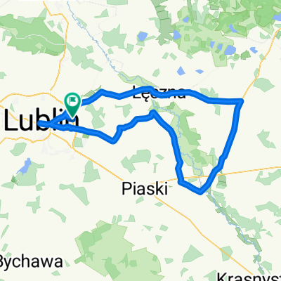
Dys-Lasy Kozłowieckie-Samoklęski-Stary Tartak-Dys
- 55.7 km
- 172 m
- 184 m
- Jakubowice Murowane, Lublin Voivodeship, Poland
A cycling route starting in Jakubowice Murowane, Lublin Voivodeship, Poland.
Overview
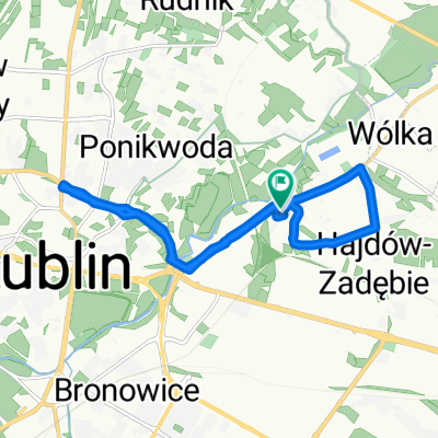
Concept of the trail station PKP Ciecierzyn - blue trail
created this 5 years ago
Route quality
Quiet road
1.8 km
(79 %)
Track
0.5 km
(21 %)
Paved
2.3 km
(100 %)
Asphalt
1.8 km
(79 %)
Paved (undefined)
0.5 km
(21 %)
Continue with Bikemap
You would like to ride Koncpecja szlaku stacja PKP Ciecierzyn-szl. niebieski or customize it for your own trip? Here is what you can do with this Bikemap route:
Free trial for 3 days, or one-time payment. More about Bikemap Premium.
Discover more Premium features.
Get Bikemap PremiumFrom our community
Open it in the app