- 566 km
- 144 m
- 282 m
- Hövelhof, North Rhine-Westphalia, Germany
Paderborner Land Route
A cycling route starting in Hövelhof, North Rhine-Westphalia, Germany.
Overview
About this route
Die Paderborner Land Route hat eine Länge von 245 Kilometern und verknüpft die kulturhistorischen und natürlichen Sehenswürdigkeiten des Paderborner Landes. Sie ist vom ADFC mit 3 Sternen ausgezeichnet.
- -:--
- Duration
- 247.9 km
- Distance
- 2,131 m
- Ascent
- 2,128 m
- Descent
- ---
- Avg. speed
- 456 m
- Max. altitude
created this 5 years ago
Route quality
Waytypes & surfaces along the route
Waytypes
Quiet road
101.7 km
(41 %)
Track
66.9 km
(27 %)
Surfaces
Paved
193.4 km
(78 %)
Unpaved
27.3 km
(11 %)
Asphalt
171.1 km
(69 %)
Paved (undefined)
22.3 km
(9 %)
Route highlights
Points of interest along the route

Point of interest after 0.7 km
Jagdschloss
Point of interest after 11.9 km
Aussichtsplattform Lippesee

Point of interest after 14.6 km
Schloss Neuhaus
Point of interest after 17.6 km
Heinz Nixdorf MuseumsForum

Point of interest after 19.6 km
Paderquellgebiet
Point of interest after 19.8 km
Kaiserpfalz
Point of interest after 19.9 km
Dom
Point of interest after 32.2 km
Arminiusquelle
Point of interest after 32.2 km
Lippequelle
Point of interest after 32.2 km
Burgruine
Point of interest after 40.3 km
Kleiner Viadukt
Point of interest after 44.3 km
Eisenbahnviadukt
Point of interest after 45.2 km
Museumslokomotive
Point of interest after 62.9 km
Antoniuskapelle
Point of interest after 85 km
LWL Kloster Dalheim
Point of interest after 88.7 km
Steingräber
Point of interest after 107.1 km
Spanckenhof
Point of interest after 107.9 km
Kurpark
Point of interest after 110.4 km
Aabachtalsperre
Point of interest after 116.5 km
Aussichtspunkt
Point of interest after 129.3 km
Burgruine
Point of interest after 139.5 km
Jesuitenkirche

Point of interest after 148.1 km
Kluskapelle

Point of interest after 152 km
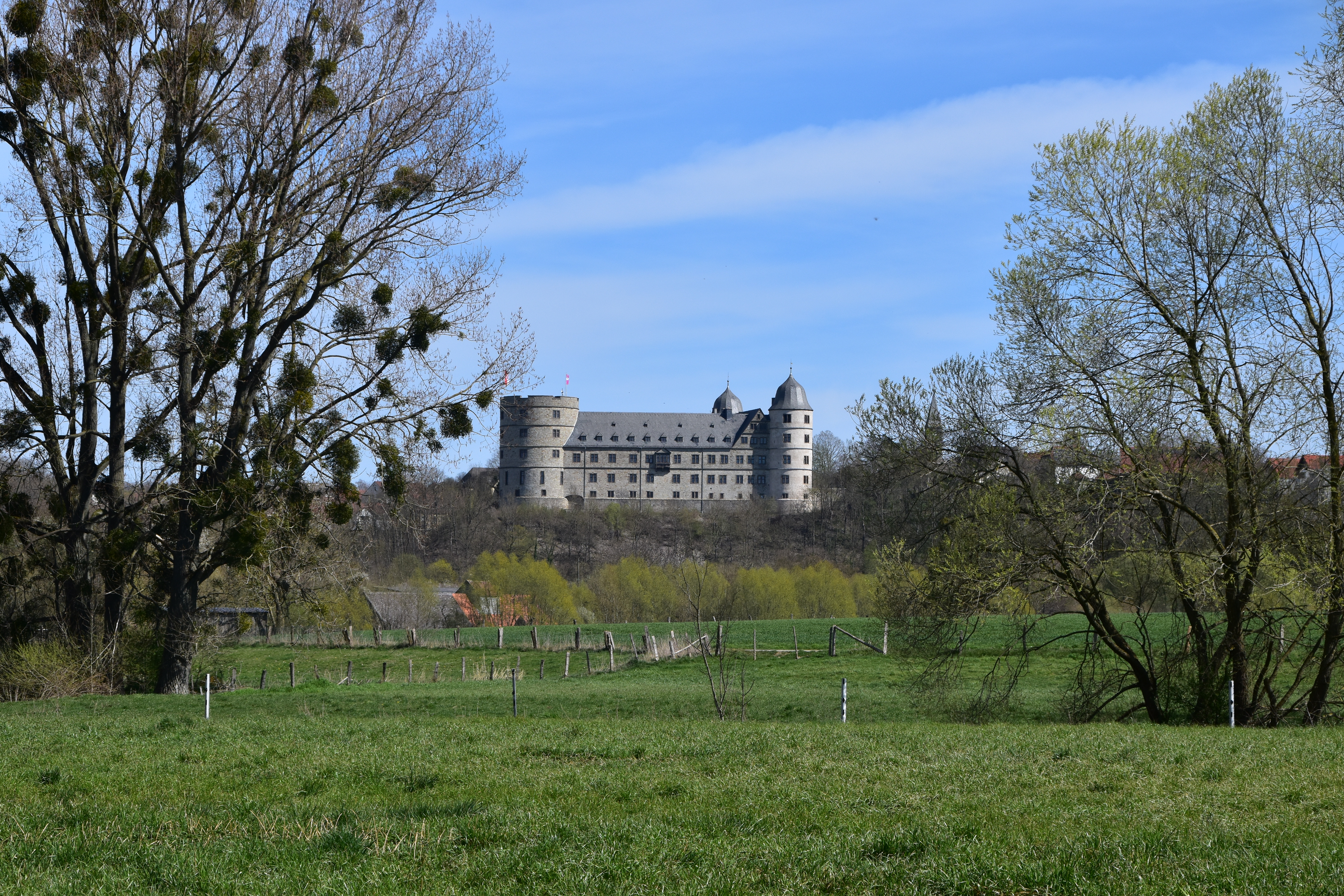
Wewelsburg
Point of interest after 163 km
Steinkammergrab
Point of interest after 164.9 km
Mallinckrodthof
Point of interest after 180.5 km
Saline
Point of interest after 198.2 km
Boker Heide
Point of interest after 201.1 km
Hirtenkapelle
Point of interest after 217.6 km
Tierpark Nadermann

Point of interest after 222.8 km
Steinhorster Becken
Point of interest after 241.1 km
Ems-Erlebniswelt
Point of interest after 242 km
Ems Infozentrum
Point of interest after 242.1 km
Naturschutzgebiet Moosheide
Point of interest after 244.7 km
Hövelsenner Kapelle
Continue with Bikemap
Use, edit, or download this cycling route
You would like to ride Paderborner Land Route or customize it for your own trip? Here is what you can do with this Bikemap route:
Free features
- Save this route as favorite or in collections
- Copy & plan your own version of this route
- Split it into stages to create a multi-day tour
- Sync your route with Garmin or Wahoo
Premium features
Free trial for 3 days, or one-time payment. More about Bikemap Premium.
- Navigate this route on iOS & Android
- Export a GPX / KML file of this route
- Create your custom printout (try it for free)
- Download this route for offline navigation
Discover more Premium features.
Get Bikemap PremiumFrom our community
Other popular routes starting in Hövelhof
- Ems-Radweg
- Hövelhof - Sassenberg
- 94.1 km
- 154 m
- 226 m
- Hövelhof, North Rhine-Westphalia, Germany
- Emsradweg (GPS)
- 378.3 km
- 56 m
- 185 m
- Hövelhof, North Rhine-Westphalia, Germany
- Paderborner Land Route
- 247.9 km
- 2,131 m
- 2,128 m
- Hövelhof, North Rhine-Westphalia, Germany
- Delbrücker Runde
- 54 km
- 83 m
- 82 m
- Hövelhof, North Rhine-Westphalia, Germany
- Neuhaus Delbrück
- 24.4 km
- 27 m
- 26 m
- Hövelhof, North Rhine-Westphalia, Germany
- Senne-Parcours Hövelhof
- 56.4 km
- 104 m
- 104 m
- Hövelhof, North Rhine-Westphalia, Germany
- Ems-Radweg
- 378.8 km
- 48 m
- 186 m
- Hövelhof, North Rhine-Westphalia, Germany
Open it in the app


