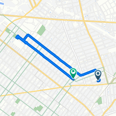
The Tastiest Shirley Chisholm State Park Route
A cycling route starting in East New York, New York, United States of America.
Overview
About this route
Who doesn't love a landfill that has been turned into a delightful oasis for park starved New Yorkers? Something that I truly appreciate about this city is the ingenuity in transforming some of our unused landmasses into a place for all to enjoy, and Shirley Chisholm State Park definitely fits the bill of a great utilization of underused space. This was my first time exploring this former landfill transformed into a state park, and it was a fantastic experience.
- 43 min
- Duration
- 12.1 km
- Distance
- 45 m
- Ascent
- 56 m
- Descent
- 16.8 km/h
- Avg. speed
- ---
- Avg. speed
Route photos
Route quality
Waytypes & surfaces along the route
Waytypes
Quiet road
7.1 km
(58 %)
Cycleway
2.1 km
(17 %)
Surfaces
Paved
3 km
(25 %)
Asphalt
2.5 km
(21 %)
Concrete
0.5 km
(4 %)
Continue with Bikemap
Use, edit, or download this cycling route
You would like to ride The Tastiest Shirley Chisholm State Park Route or customize it for your own trip? Here is what you can do with this Bikemap route:
Free features
- Save this route as favorite or in collections
- Copy & plan your own version of this route
- Sync your route with Garmin or Wahoo
Premium features
Free trial for 3 days, or one-time payment. More about Bikemap Premium.
- Navigate this route on iOS & Android
- Export a GPX / KML file of this route
- Create your custom printout (try it for free)
- Download this route for offline navigation
Discover more Premium features.
Get Bikemap PremiumFrom our community
Other popular routes starting in East New York
- NYC Century
- Distance
- 167.9 km
- Ascent
- 322 m
- Descent
- 321 m
- Location
- East New York, New York, United States of America
- ride home from Highland 2nd ride
- Distance
- 2.3 km
- Ascent
- 7 m
- Descent
- 34 m
- Location
- East New York, New York, United States of America
- Ridgewood Reservoir and the Many Cemeteries of Queens Route
- Distance
- 9.1 km
- Ascent
- 52 m
- Descent
- 58 m
- Location
- East New York, New York, United States of America
- The Tastiest Shirley Chisholm State Park Route
- Distance
- 12.1 km
- Ascent
- 45 m
- Descent
- 56 m
- Location
- East New York, New York, United States of America
- Day 6: Floyd Bennett Field to Washington Square Park Hotel
- Distance
- 25.5 km
- Ascent
- 147 m
- Descent
- 141 m
- Location
- East New York, New York, United States of America
- Shepherd Avenue 107 to Nostrand Avenue 2425
- Distance
- 11.4 km
- Ascent
- 77 m
- Descent
- 80 m
- Location
- East New York, New York, United States of America
- Long ride through New York
- Distance
- 50.9 km
- Ascent
- 209 m
- Descent
- 208 m
- Location
- East New York, New York, United States of America
- GENZE Ebike on 75% charge - 23% @ end
- Distance
- 46.9 km
- Ascent
- 98 m
- Descent
- 98 m
- Location
- East New York, New York, United States of America