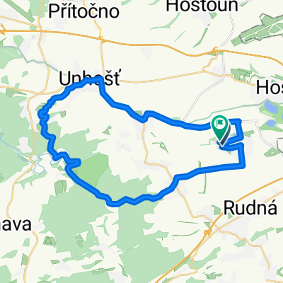
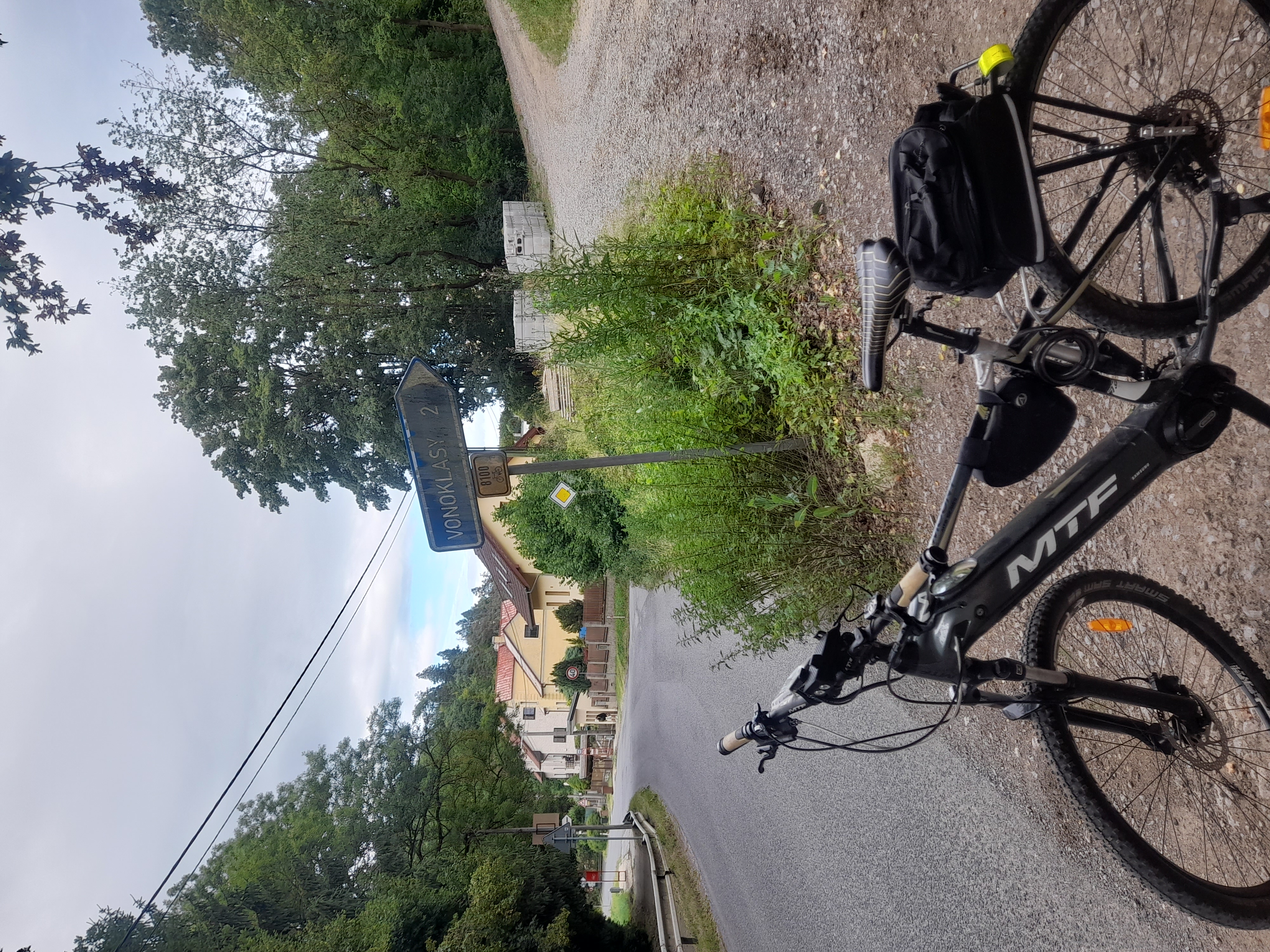
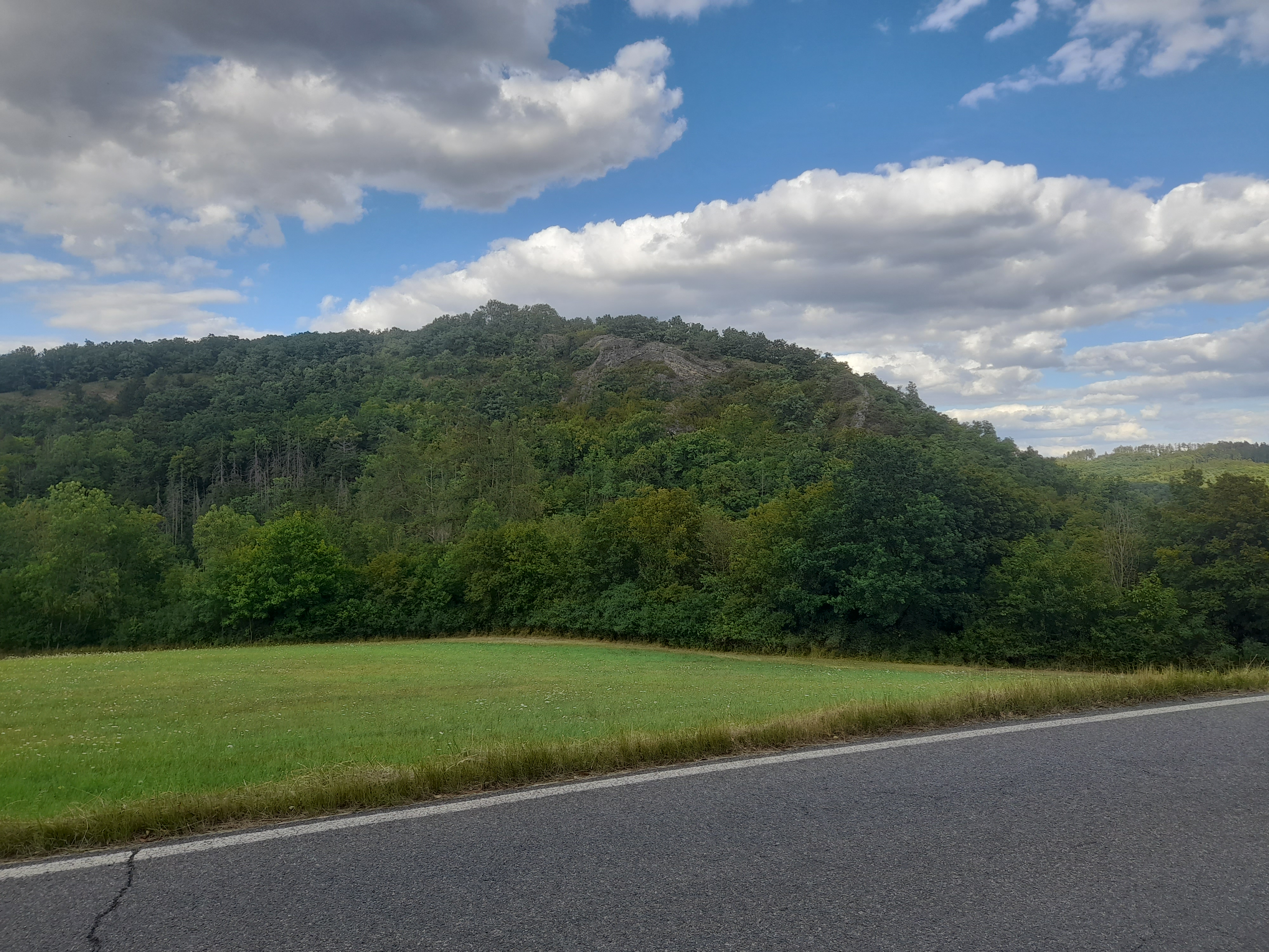
Rudná-Karlík-Kuchař-Rudná
- 49.9 km
- 903 m
- 903 m
- Rudná, Central Bohemia, Czechia
A cycling route starting in Rudná, Central Bohemia, Czechia.
Overview
Rudná-Karlík-Kuchař-Rudná
created this 17 years ago
Route quality
Road
23.9 km
(48 %)
Quiet road
2 km
(4 %)
Paved
29.9 km
(60 %)
Asphalt
29.9 km
(60 %)
Undefined
20 km
(40 %)
Continue with Bikemap
You would like to ride Rudná-Karlík-Kuchař-Rudná or customize it for your own trip? Here is what you can do with this Bikemap route:
Free trial for 3 days, or one-time payment. More about Bikemap Premium.
Discover more Premium features.
Get Bikemap PremiumFrom our community
Open it in the app