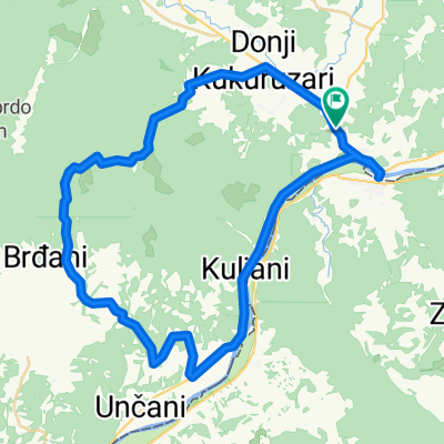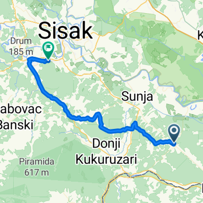
Tour the Banija - drugi dio
- 50.9 km
- 425 m
- 419 m
- Hrvatska Kostajnica, Sisak-Moslavina County, Croatia
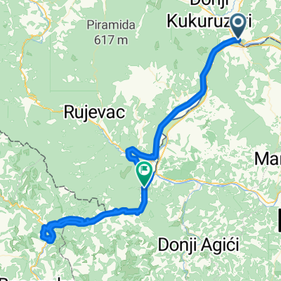
Road
27.3 km64 %Track
2.1 km5 %Paved
19.2 km(45 %)Unpaved
0.9 km(2 %)Asphalt
19.2 km45 %Unpaved (undefined)
0.9 km2 %Undefined
22.6 km53 %Free trial for 3 days, or one-time payment. More about Bikemap Premium.
Discover more Premium features.
Get Bikemap PremiumOpen it in the app