QuailCreek-HelmetPeak-Casino
A cycling route starting in East Sahuarita, Arizona, United States of America.
Overview
About this route
Food stop at the casino on Pima Mine Rd.
- -:--
- Duration
- 66 km
- Distance
- 349 m
- Ascent
- 349 m
- Descent
- ---
- Avg. speed
- ---
- Avg. speed
Route quality
Waytypes & surfaces along the route
Waytypes
Road
21.9 km
(33 %)
Busy road
21.7 km
(33 %)
Surfaces
Paved
13.7 km
(21 %)
Unpaved
6.9 km
(10 %)
Asphalt
13.6 km
(21 %)
Ground
6.9 km
(10 %)
Continue with Bikemap
Use, edit, or download this cycling route
You would like to ride QuailCreek-HelmetPeak-Casino or customize it for your own trip? Here is what you can do with this Bikemap route:
Free features
- Save this route as favorite or in collections
- Copy & plan your own version of this route
- Sync your route with Garmin or Wahoo
Premium features
Free trial for 3 days, or one-time payment. More about Bikemap Premium.
- Navigate this route on iOS & Android
- Export a GPX / KML file of this route
- Create your custom printout (try it for free)
- Download this route for offline navigation
Discover more Premium features.
Get Bikemap PremiumFrom our community
Other popular routes starting in East Sahuarita
- QuailCreek-HelmetPeak-BackRoads
- Distance
- 51.2 km
- Ascent
- 323 m
- Descent
- 323 m
- Location
- East Sahuarita, Arizona, United States of America
- QuailCreek-HelmetPeak-Casino
- Distance
- 66 km
- Ascent
- 349 m
- Descent
- 349 m
- Location
- East Sahuarita, Arizona, United States of America
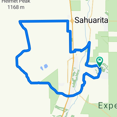
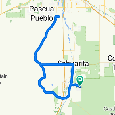
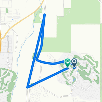
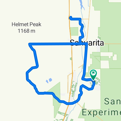
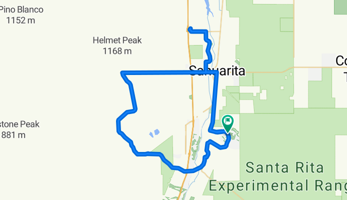
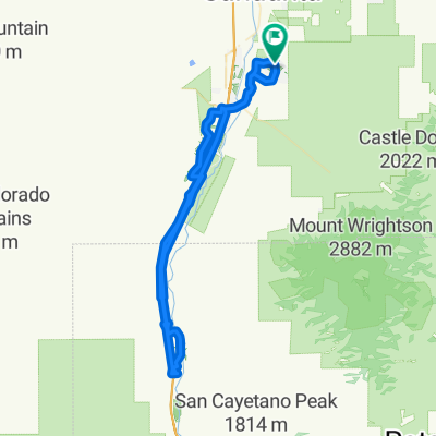
- QuailCreek-Tubac-return
- Distance
- 84.6 km
- Ascent
- 178 m
- Descent
- 178 m
- Location
- East Sahuarita, Arizona, United States of America
- 1418–1482 N Quail View Loop, Sahuarita to 1908 E Cliff Swallow Trail, Sahuarita
- Distance
- 9 km
- Ascent
- 32 m
- Descent
- 38 m
- Location
- East Sahuarita, Arizona, United States of America
- San Xavier Mission from Quail Creek
- Distance
- 93.1 km
- Ascent
- 653 m
- Descent
- 653 m
- Location
- East Sahuarita, Arizona, United States of America
Open it in the app