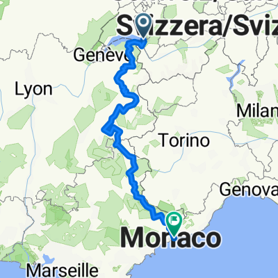
02-Montreux - Martigny
- 49.1 km
- 146 m
- 48 m
- Montreux, Canton of Vaud, Switzerland
A cycling route starting in Montreux, Canton of Vaud, Switzerland.
Overview
Route leads from Lake Geneva (Montreux) about 45 km through the Rhône valley in beautiful mountain scenery without significant climbs to Martigny. Here begins a pleasant 35 km ascent to the St. Bernard Tunnel. After that, I had 8 working km on a very narrow road (no holes, but very bumpy, without guardrail - descending offered a wonderful view at a speed of 35 through the unobstructed landscape, also large tourist buses traveling on this narrow road). At the Col du Gd St. Bernard, there are extensive tourist offers. I do not regret my excursion into Italy - with the sun at my back, I could enjoy the panorama better than during the ascent against the sun.
created this 14 years ago
Route quality
Quiet road
8.2 km
(9 %)
Road
7.3 km
(8 %)
Paved
66 km
(72 %)
Unpaved
4.6 km
(5 %)
Asphalt
65.1 km
(71 %)
Unpaved (undefined)
4.6 km
(5 %)
Continue with Bikemap
You would like to ride Montreux - Col du Gd St. Bernard or customize it for your own trip? Here is what you can do with this Bikemap route:
Free trial for 3 days, or one-time payment. More about Bikemap Premium.
Discover more Premium features.
Get Bikemap PremiumFrom our community
Open it in the app