

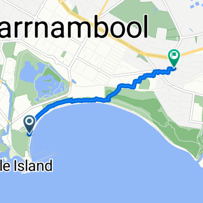
beach 4th Oct
- 3.7 km
- 48 m
- 22 m
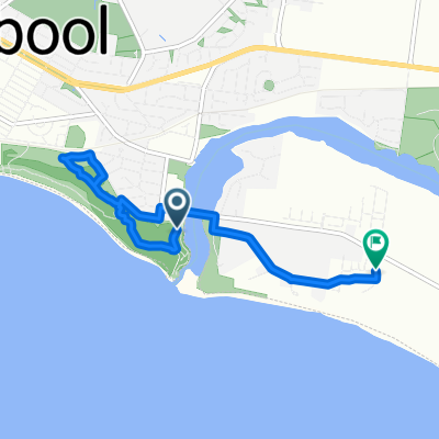
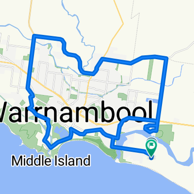
- Warrnambool, Victoria, Australia
A cycling route starting in Warrnambool, Victoria, Australia.
Overview
Route quality
Quiet road
127.8 km
(42 %)
Road
63.9 km
(21 %)
Paved
167.4 km
(55 %)
Unpaved
121.7 km
(40 %)
Asphalt
133.9 km
(44 %)
Unpaved (undefined)
115.7 km
(38 %)
Route highlights
PC Camp ground
Sow and piglets
Timboon distillery
Prickly Moses
Forrest brewery
JR Brewery
Salt
Salt Brewery
Odyssey brewery
Little creatures
Continue with Bikemap
You would like to ride Beers or customize it for your own trip? Here is what you can do with this Bikemap route:
Free trial for 3 days, or one-time payment. More about Bikemap Premium.
Discover more Premium features.
Get Bikemap PremiumFrom our community
Open it in the app


![[國外 AU]GOR D7 Wanambool-Portland](https://media.bikemap.net/routes/1903417/staticmaps/in_826b9a3c-9d9f-46ba-bda5-823aa556ca47_400x400_bikemap-2021-3D-static.png)
