Schönbrunn - Kickelhahn
A cycling route starting in Frauenwald, Thuringia, Germany.
Overview
About this route
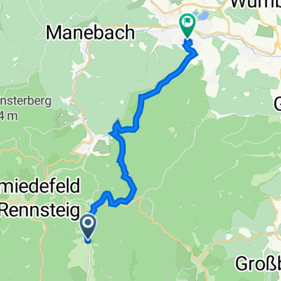
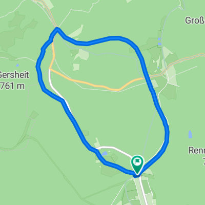
The tour begins in Schönbrunn below the dam and immediately climbs up to Frauenwald at about 750m. Right after Frauenwald, there's a beautiful trail descent almost down to the reservoir (to the right). However, the tour turns left up to Allzunah. It continues partly on the road until the entrance to Ilmenau. Here lies the difficult part... the ascent to Kickelhahn. A real test of endurance, as it's extremely steep and sometimes hard to ride. However, it's rewarded with a beautiful view and a mountain inn. The way back via Stützerbach and Neustadt follows the Rennsteig and finally leads back down to the Schönbrunn dam. Those who have had enough here and want to shorten the route can circumnavigate the dam counterclockwise.
- -:--
- Duration
- 61.1 km
- Distance
- 1,048 m
- Ascent
- 1,058 m
- Descent
- ---
- Avg. speed
- ---
- Max. altitude
Continue with Bikemap
Use, edit, or download this cycling route
You would like to ride Schönbrunn - Kickelhahn or customize it for your own trip? Here is what you can do with this Bikemap route:
Free features
- Save this route as favorite or in collections
- Copy & plan your own version of this route
- Sync your route with Garmin or Wahoo
Premium features
Free trial for 3 days, or one-time payment. More about Bikemap Premium.
- Navigate this route on iOS & Android
- Export a GPX / KML file of this route
- Create your custom printout (try it for free)
- Download this route for offline navigation
Discover more Premium features.
Get Bikemap PremiumFrom our community
Other popular routes starting in Frauenwald
- einrollrunde
- Distance
- 26 km
- Ascent
- 309 m
- Descent
- 267 m
- Location
- Frauenwald, Thuringia, Germany
- Frauenwald-Finsterberg-Schneekopf-Dörrberg-Beerberg
- Distance
- 58.9 km
- Ascent
- 927 m
- Descent
- 927 m
- Location
- Frauenwald, Thuringia, Germany
- Talsperre Schönbrunn
- Distance
- 28.3 km
- Ascent
- 864 m
- Descent
- 834 m
- Location
- Frauenwald, Thuringia, Germany
- Talsperre/Dreiherrenstein
- Distance
- 12 km
- Ascent
- 315 m
- Descent
- 315 m
- Location
- Frauenwald, Thuringia, Germany
- Schönbrunn - Schneekopf
- Distance
- 60.2 km
- Ascent
- 1,377 m
- Descent
- 1,118 m
- Location
- Frauenwald, Thuringia, Germany
- 20160119_111958.gpx
- Distance
- 5.7 km
- Ascent
- 92 m
- Descent
- 95 m
- Location
- Frauenwald, Thuringia, Germany
- Rund um die Talsperre Schönbrunn
- Distance
- 16.3 km
- Ascent
- 474 m
- Descent
- 463 m
- Location
- Frauenwald, Thuringia, Germany
- Talsperre Schönbrunn (lang)
- Distance
- 16.3 km
- Ascent
- 414 m
- Descent
- 414 m
- Location
- Frauenwald, Thuringia, Germany
Open it in the app