

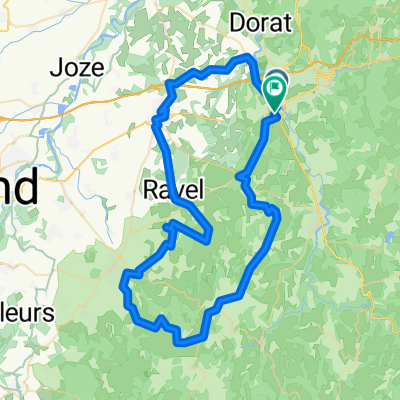
Thiers - Meilhan
A cycling route starting in Peschadoires, Auvergne-Rhône-Alpes, France.
Overview
About this route
Auvergne - Aquitaine
- -:--
- Duration
- 522.2 km
- Distance
- 2,716 m
- Ascent
- 2,963 m
- Descent
- ---
- Avg. speed
- ---
- Max. altitude

Route quality
Waytypes & surfaces along the route
Waytypes
Road
177.6 km
(34 %)
Quiet road
47 km
(9 %)
Surfaces
Paved
130.6 km
(25 %)
Asphalt
130.6 km
(25 %)
Undefined
391.7 km
(75 %)
Route highlights
Points of interest along the route
Point of interest after 0 km
Point of interest after 53.7 km
Saint Floret Hotel Le Dristan
Point of interest after 110.7 km
CHEYLADE Hotel de la Valee
Point of interest after 251.3 km
La Chapelle-Viescamp Hotel du Lac
Point of interest after 326.3 km
Hotel des Voyageurs
Point of interest after 389.9 km
Hostellerie de Goujounac
Point of interest after 425.2 km
Gavaudin
Point of interest after 452.9 km
Doudrac
Point of interest after 490.3 km
Allemans du Dropt
Continue with Bikemap
Use, edit, or download this cycling route
You would like to ride Thiers - Meilhan or customize it for your own trip? Here is what you can do with this Bikemap route:
Free features
- Save this route as favorite or in collections
- Copy & plan your own version of this route
- Split it into stages to create a multi-day tour
- Sync your route with Garmin or Wahoo
Premium features
Free trial for 3 days, or one-time payment. More about Bikemap Premium.
- Navigate this route on iOS & Android
- Export a GPX / KML file of this route
- Create your custom printout (try it for free)
- Download this route for offline navigation
Discover more Premium features.
Get Bikemap PremiumFrom our community
Other popular routes starting in Peschadoires
 Thiers - Meilhan
- Distance
- 522.2 km
- Ascent
- 2,716 m
- Descent
- 2,963 m
- Location
- Peschadoires, Auvergne-Rhône-Alpes, France
 De Route de Courpière 57, Peschadoires à Les Charbonniers 22, Paslières
- Distance
- 54.1 km
- Ascent
- 244 m
- Descent
- 221 m
- Location
- Peschadoires, Auvergne-Rhône-Alpes, France
 De Route de Clermont à Chemin des Torrents
- Distance
- 76.9 km
- Ascent
- 890 m
- Descent
- 882 m
- Location
- Peschadoires, Auvergne-Rhône-Alpes, France
 2009 Euro Tour -- Ride Day 7 — 27 June 2009 — 63300 Thiers to 42120 Le Coteau (Roanne)
- Distance
- 102.7 km
- Ascent
- 1,023 m
- Descent
- 1,039 m
- Location
- Peschadoires, Auvergne-Rhône-Alpes, France
 Thiers Le Puy en velay
- Distance
- 151.9 km
- Ascent
- 3,152 m
- Descent
- 2,672 m
- Location
- Peschadoires, Auvergne-Rhône-Alpes, France
 thiers bilom
- Distance
- 21.3 km
- Ascent
- 185 m
- Descent
- 124 m
- Location
- Peschadoires, Auvergne-Rhône-Alpes, France
Open it in the app