

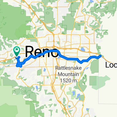
home to Sandy 2
A cycling route starting in Reno, Nevada, United States.
Overview
About this route
- 4 h 19 min
- Duration
- 31.1 km
- Distance
- 8,212 m
- Ascent
- 8,212 m
- Descent
- 7.2 km/h
- Avg. speed
- ---
- Max. altitude

Continue with Bikemap
Use, edit, or download this cycling route
You would like to ride home to Sandy 2 or customize it for your own trip? Here is what you can do with this Bikemap route:
Free features
- Save this route as favorite or in collections
- Copy & plan your own version of this route
- Sync your route with Garmin or Wahoo
Premium features
Free trial for 3 days, or one-time payment. More about Bikemap Premium.
- Navigate this route on iOS & Android
- Export a GPX / KML file of this route
- Create your custom printout (try it for free)
- Download this route for offline navigation
Discover more Premium features.
Get Bikemap PremiumFrom our community
Other popular routes starting in Reno
 Route to Reno
- Distance
- 41.4 km
- Ascent
- 222 m
- Descent
- 222 m
- Location
- Reno, Nevada, United States
 Near Truckee River
- Distance
- 20.3 km
- Ascent
- 158 m
- Descent
- 165 m
- Location
- Reno, Nevada, United States
 South Virginia Street 200, Reno to South Virginia Street 200, Reno
- Distance
- 43.2 km
- Ascent
- 149 m
- Descent
- 142 m
- Location
- Reno, Nevada, United States
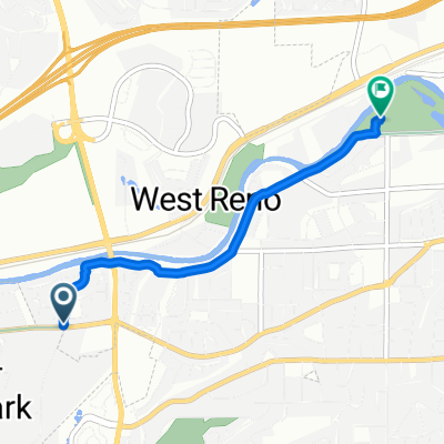 Edgewater Pkwy, Reno to Spoon Dr, Reno
- Distance
- 3.2 km
- Ascent
- 0 m
- Descent
- 19 m
- Location
- Reno, Nevada, United States
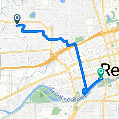 Prince Way to West 1st Street
- Distance
- 3.8 km
- Ascent
- 18 m
- Descent
- 51 m
- Location
- Reno, Nevada, United States
 Homee
Homee- Distance
- 217.9 km
- Ascent
- 1,801 m
- Descent
- 2,545 m
- Location
- Reno, Nevada, United States
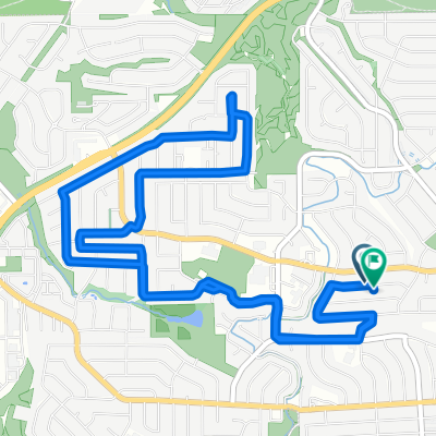 Prince Way to Prince Way
- Distance
- 8.8 km
- Ascent
- 148 m
- Descent
- 122 m
- Location
- Reno, Nevada, United States
 Reno West to East
- Distance
- 7.8 km
- Ascent
- 40 m
- Descent
- 87 m
- Location
- Reno, Nevada, United States
Open it in the app