
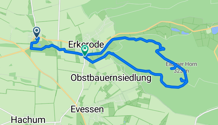
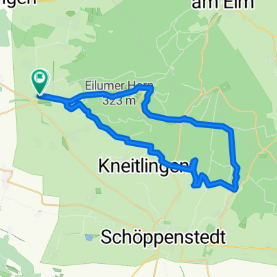
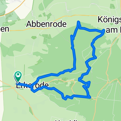
ZW03 Lucklum-Erkerode-Eilumer Horn
A cycling route starting in Veltheim, Lower Saxony, Germany.
Overview
About this route
Den höchsten Gipfel im Elm, das Eilumer Horn, erklimmen und einen Eintrag im Gipfelbuch hinterlassen.
- -:--
- Duration
- 9.7 km
- Distance
- 216 m
- Ascent
- 191 m
- Descent
- ---
- Avg. speed
- ---
- Max. altitude

Route quality
Waytypes & surfaces along the route
Waytypes
Track
6.4 km
(66 %)
Quiet road
1.3 km
(13 %)
Surfaces
Paved
1 km
(10 %)
Unpaved
7.4 km
(76 %)
Gravel
4.1 km
(42 %)
Loose gravel
1.7 km
(18 %)
Continue with Bikemap
Use, edit, or download this cycling route
You would like to ride ZW03 Lucklum-Erkerode-Eilumer Horn or customize it for your own trip? Here is what you can do with this Bikemap route:
Free features
- Save this route as favorite or in collections
- Copy & plan your own version of this route
- Sync your route with Garmin or Wahoo
Premium features
Free trial for 3 days, or one-time payment. More about Bikemap Premium.
- Navigate this route on iOS & Android
- Export a GPX / KML file of this route
- Create your custom printout (try it for free)
- Download this route for offline navigation
Discover more Premium features.
Get Bikemap PremiumFrom our community
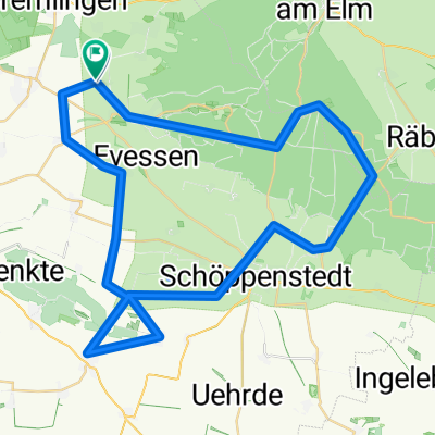
Other popular routes starting in Veltheim
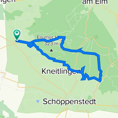 MTB ELM Lucklum 1 Rundtour über Watzumer Häuschen und Tetzelstein
- Distance
- 28.5 km
- Ascent
- 357 m
- Descent
- 353 m
- Location
- Veltheim, Lower Saxony, Germany
 Westelm
- Distance
- 30.1 km
- Ascent
- 535 m
- Descent
- 537 m
- Location
- Veltheim, Lower Saxony, Germany
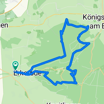
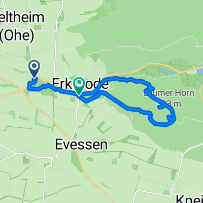
 Tour im Naturpark Elm-Lappwald
- Distance
- 32.1 km
- Ascent
- 597 m
- Descent
- 595 m
- Location
- Veltheim, Lower Saxony, Germany
 Elm M03 (Toscana Tour)
- Distance
- 28.5 km
- Ascent
- 357 m
- Descent
- 353 m
- Location
- Veltheim, Lower Saxony, Germany
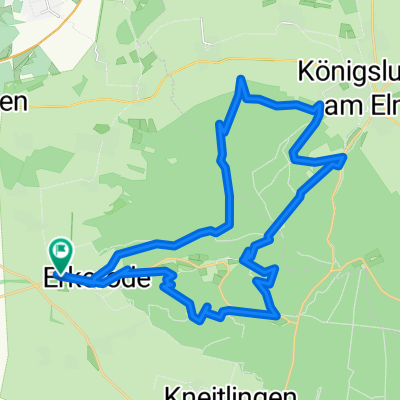
 Radrunde Elm - Asse
- Distance
- 47.7 km
- Ascent
- 486 m
- Descent
- 488 m
- Location
- Veltheim, Lower Saxony, Germany
 ZW03 Lucklum-Erkerode-Eilumer Horn
- Distance
- 9.7 km
- Ascent
- 216 m
- Descent
- 191 m
- Location
- Veltheim, Lower Saxony, Germany
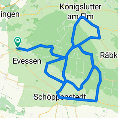 Elmquerung über die schwersten vier Berge
- Distance
- 72.2 km
- Ascent
- 734 m
- Descent
- 734 m
- Location
- Veltheim, Lower Saxony, Germany
 Westelm CLONED FROM ROUTE 257017
- Distance
- 29.3 km
- Ascent
- 514 m
- Descent
- 513 m
- Location
- Veltheim, Lower Saxony, Germany
Open it in the app