

TCT Southwest Regional Route
A cycling route starting in Bowen Island, British Columbia, Canada.
Overview
About this route
- -:--
- Duration
- 409.2 km
- Distance
- 3,048 m
- Ascent
- 2,072 m
- Descent
- ---
- Avg. speed
- ---
- Max. altitude

Route highlights
Points of interest along the route
Point of interest after 9.3 km
TCT Sectional/Horshoe Bay to North Vancouver http://www.bikemap.net/route/779351
Point of interest after 19 km
TCT Sectional/Northshore Hiking Route http://www.wandermap.net/route/791884
Point of interest after 61.8 km
TCT Sectional/Vancouver to Port Moody http://www.bikemap.net/route/779352
Point of interest after 104.3 km
TCT Sectional/Port Moody to Matsqui http://www.bikemap.net/route/779353
Point of interest after 203.7 km
TCT Sectional/Matsqui to Cultus Lake http://www.bikemap.net/route/779356
Point of interest after 257.3 km
TCT Sectional/Cultus Lake to Chilliwack Lake http://www.bikemap.net/route/779357
Point of interest after 307.2 km
TCT Sectional/Chilliwack Lake to Hope http://www.bikemap.net/route/779359
Point of interest after 346.5 km
TCT Sectional/Hope to Coquihalla Lakes http://www.bikemap.net/route/779361
Point of interest after 386.6 km
TCT Sectional/Coquihalla Lakes to Brookmere http://www.bikemap.net/route/779363
Continue with Bikemap
Use, edit, or download this cycling route
You would like to ride TCT Southwest Regional Route or customize it for your own trip? Here is what you can do with this Bikemap route:
Free features
- Save this route as favorite or in collections
- Copy & plan your own version of this route
- Split it into stages to create a multi-day tour
- Sync your route with Garmin or Wahoo
Premium features
Free trial for 3 days, or one-time payment. More about Bikemap Premium.
- Navigate this route on iOS & Android
- Export a GPX / KML file of this route
- Create your custom printout (try it for free)
- Download this route for offline navigation
Discover more Premium features.
Get Bikemap PremiumFrom our community
Other popular routes starting in Bowen Island
 Bowen hill climbs - #1 golf course.
- Distance
- 10.8 km
- Ascent
- 491 m
- Descent
- 529 m
- Location
- Bowen Island, British Columbia, Canada
 570 Cates Hill Rd, Bowen Island to 570 Cates Hill Rd, Bowen Island
- Distance
- 11 km
- Ascent
- 284 m
- Descent
- 281 m
- Location
- Bowen Island, British Columbia, Canada
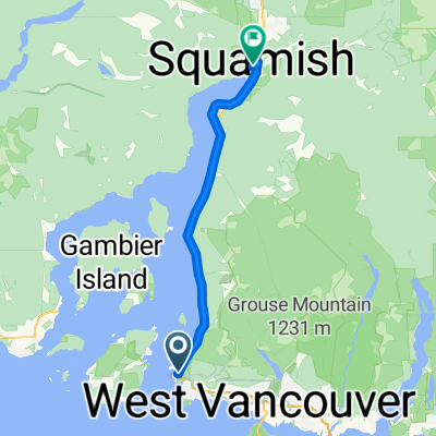 Sea-to-Sky Gleneagles to Squamish
- Distance
- 43.2 km
- Ascent
- 1,183 m
- Descent
- 1,232 m
- Location
- Bowen Island, British Columbia, Canada
 Easy ride in West Vancouver
- Distance
- 0.2 km
- Ascent
- 0 m
- Descent
- 0 m
- Location
- Bowen Island, British Columbia, Canada
 retour 3B
- Distance
- 17.4 km
- Ascent
- 253 m
- Descent
- 251 m
- Location
- Bowen Island, British Columbia, Canada
 742–750 Grafton Rd, Bowen Island to 570 Cates Hill Rd, Bowen Island
- Distance
- 13.1 km
- Ascent
- 94 m
- Descent
- 185 m
- Location
- Bowen Island, British Columbia, Canada
 伯文岛 to Westridge Ave, 西温哥华
- Distance
- 35.9 km
- Ascent
- 900 m
- Descent
- 774 m
- Location
- Bowen Island, British Columbia, Canada
 TCT Southwest Regional Route
- Distance
- 409.2 km
- Ascent
- 3,048 m
- Descent
- 2,072 m
- Location
- Bowen Island, British Columbia, Canada
Open it in the app