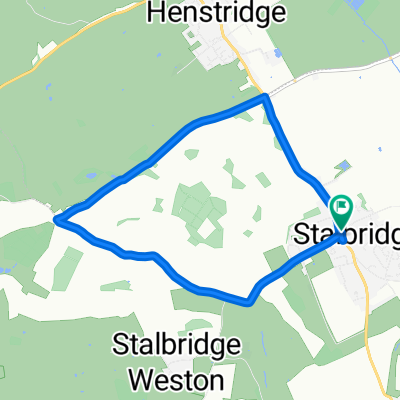
Geocaching: Okeford Hill

A cycling route starting in Stalbridge, England, United Kingdom.
OverviewAbout this route

Geocaching trip around Shillingstone, Okeford Fitzpaine & Bulbarrow Hill (cache locations are approximation only)

-:--
Duration
58.4 km
Distance
576 m
Ascent
580 m
Descent
---
Avg. speed
269 m
Max. altitude
bikehippycreated this 17 years ago
Route qualityWaytypes & surfaces along the route
Waytypes
  • Quiet road

    36.8 km63 %
  • Road

    15.8 km27 %
  • Track

    1.2 km2 %
Surfaces

Paved

16.9 km(29 %)
  • Asphalt

    16.9 km29 %
  • Undefined

    41.5 km71 %
Route highlightsPoints of interest along the route
  1. Point of interest after 17.4 km

    Two for the price of one

  2. Point of interest after 19.2 km

    Okeford Hill

  3. Point of interest after 19.4 km

    River & Railway Walk

  4. Point of interest after 27.4 km

    Field Grove

  5. Point of interest after 33.4 km

    Milton Multi

  6. Point of interest after 40.3 km

    Bulbarrow Hill

Continue with BikemapUse, edit, or download this cycling route
You would like to ride Geocaching: Okeford Hill or customize it for your own trip? Here is what you can do with this Bikemap route:
Free features
Premium features

Free trial for 3 days, or one-time payment. More about Bikemap Premium.

  • Navigate this route on iOS & Android
  • Export a GPX / KML file of this route
  • Create your custom printout (try it for free)
  • Download this route for offline navigation

Discover more Premium features.

Get Bikemap Premium
From our communityOther popular routes starting in Stalbridge

Open it in the app