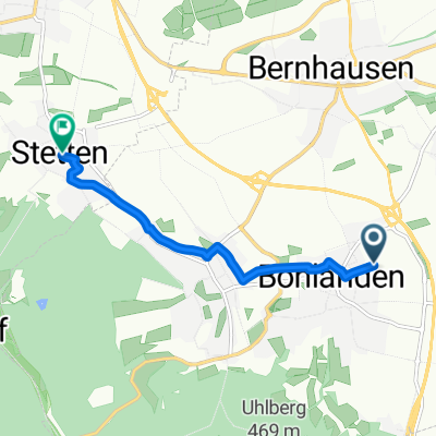
Neckartal und Schönbuch
A cycling route starting in Filderstadt, Baden-Wurttemberg, Germany.
Overview
About this route
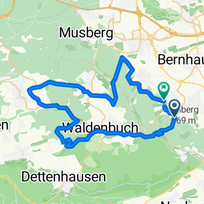
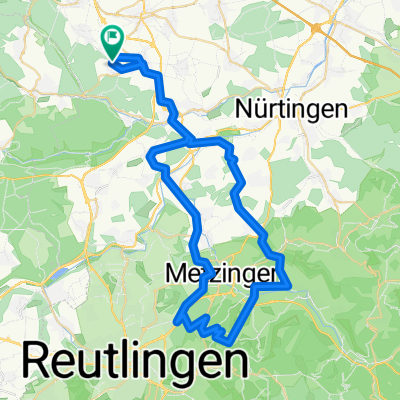
Nice day trip with climbs in Schönbuch and relatively flat in the Neckar valley. Since the route goes in an east-west direction, it's best to ride so that you have a tailwind in the Neckar valley, which makes it especially fun.
- -:--
- Duration
- 94.8 km
- Distance
- 886 m
- Ascent
- 889 m
- Descent
- ---
- Avg. speed
- 516 m
- Max. altitude
Route quality
Waytypes & surfaces along the route
Waytypes
Track
57.8 km
(61 %)
Quiet road
14.2 km
(15 %)
Surfaces
Paved
70.1 km
(74 %)
Unpaved
22.7 km
(24 %)
Asphalt
56.9 km
(60 %)
Loose gravel
14.2 km
(15 %)
Continue with Bikemap
Use, edit, or download this cycling route
You would like to ride Neckartal und Schönbuch or customize it for your own trip? Here is what you can do with this Bikemap route:
Free features
- Save this route as favorite or in collections
- Copy & plan your own version of this route
- Split it into stages to create a multi-day tour
- Sync your route with Garmin or Wahoo
Premium features
Free trial for 3 days, or one-time payment. More about Bikemap Premium.
- Navigate this route on iOS & Android
- Export a GPX / KML file of this route
- Create your custom printout (try it for free)
- Download this route for offline navigation
Discover more Premium features.
Get Bikemap PremiumFrom our community
Other popular routes starting in Filderstadt
- Lockeres Ausfahren
- Distance
- 18.7 km
- Ascent
- 153 m
- Descent
- 153 m
- Location
- Filderstadt, Baden-Wurttemberg, Germany
- CR NH Tübingen NH 72
- Distance
- 71.8 km
- Ascent
- 452 m
- Descent
- 452 m
- Location
- Filderstadt, Baden-Wurttemberg, Germany
- Körschtal - Deizisau - Sauhag
- Distance
- 49.9 km
- Ascent
- 426 m
- Descent
- 493 m
- Location
- Filderstadt, Baden-Wurttemberg, Germany
- Feierabendrunde Aichtal-Schaichtal
- Distance
- 36.5 km
- Ascent
- 493 m
- Descent
- 488 m
- Location
- Filderstadt, Baden-Wurttemberg, Germany
- Aichtal_Waldenbuch_Sieben_Mühlen
- Distance
- 50.4 km
- Ascent
- 578 m
- Descent
- 534 m
- Location
- Filderstadt, Baden-Wurttemberg, Germany
- Filder-Körschtal-Runde
- Distance
- 20.7 km
- Ascent
- 172 m
- Descent
- 181 m
- Location
- Filderstadt, Baden-Wurttemberg, Germany
- Nach Urach und zurück
- Distance
- 64.5 km
- Ascent
- 713 m
- Descent
- 711 m
- Location
- Filderstadt, Baden-Wurttemberg, Germany
- Seebruckenmühle - Waldenbuch
- Distance
- 20.1 km
- Ascent
- 304 m
- Descent
- 378 m
- Location
- Filderstadt, Baden-Wurttemberg, Germany
Open it in the app