
r107 ROAM
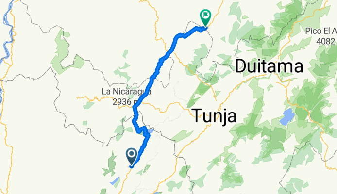
A cycling route starting in Sutatausa, Cundinamarca, Colombia.
Overview
About this route
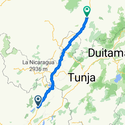
sutatausa-ubate-gualancuy-capellania-susa-la glorieta-el reten-chiquinquira-quebrada las vigas-gravito-la planada-el pinito-quebrada otero-el cafetal-quebrada aguaclara-quebrada ceniza-barbosa-el cable-santana-vado real
- -:--
- Duration
- 147.2 km
- Distance
- 603 m
- Ascent
- 1,724 m
- Descent
- ---
- Avg. speed
- ---
- Max. altitude
Continue with Bikemap
Use, edit, or download this cycling route
You would like to ride r107 ROAM or customize it for your own trip? Here is what you can do with this Bikemap route:
Free features
- Save this route as favorite or in collections
- Copy & plan your own version of this route
- Split it into stages to create a multi-day tour
- Sync your route with Garmin or Wahoo
Premium features
Free trial for 3 days, or one-time payment. More about Bikemap Premium.
- Navigate this route on iOS & Android
- Export a GPX / KML file of this route
- Create your custom printout (try it for free)
- Download this route for offline navigation
Discover more Premium features.
Get Bikemap PremiumFrom our community
Other popular routes starting in Sutatausa
 vigésima 2 parada Oiba
- Distance
- 172.6 km
- Ascent
- 3,227 m
- Descent
- 4,738 m
- Location
- Sutatausa, Cundinamarca, Colombia
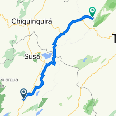
 De Carretera Palacio, Tausavita a Via Principal Ubate, Ubaté
- Distance
- 5.3 km
- Ascent
- 10 m
- Descent
- 35 m
- Location
- Sutatausa, Cundinamarca, Colombia
 la primavera
- Distance
- 16.5 km
- Ascent
- 406 m
- Descent
- 368 m
- Location
- Sutatausa, Cundinamarca, Colombia
 jhoan
jhoan- Distance
- 74.9 km
- Ascent
- 10 m
- Descent
- 36 m
- Location
- Sutatausa, Cundinamarca, Colombia
 r107 ROAM
- Distance
- 147.2 km
- Ascent
- 603 m
- Descent
- 1,724 m
- Location
- Sutatausa, Cundinamarca, Colombia
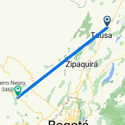
 De Sutatausa à Villa de Leyva
- Distance
- 75.5 km
- Ascent
- 674 m
- Descent
- 1,135 m
- Location
- Sutatausa, Cundinamarca, Colombia
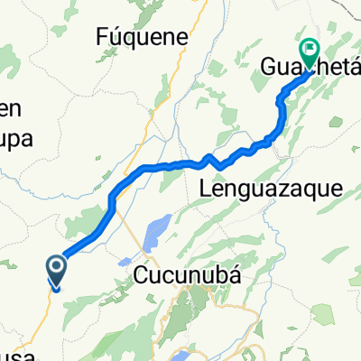 De Unnamed Road a Calle 2 # 3 - 59, Guachetá
- Distance
- 29.5 km
- Ascent
- 473 m
- Descent
- 417 m
- Location
- Sutatausa, Cundinamarca, Colombia
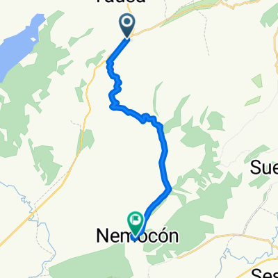 ubate nemocon cerro verde
- Distance
- 18.2 km
- Ascent
- 76 m
- Descent
- 582 m
- Location
- Sutatausa, Cundinamarca, Colombia
Open it in the app