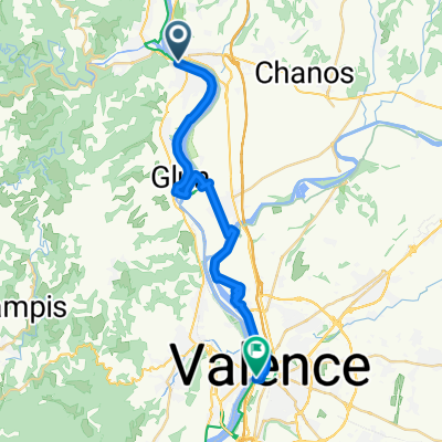
From Tournon-sur-Rhône to Vernaison
- 107.4 km
- 564 m
- 517 m
- Tournon-sur-Rhône, Auvergne-Rhône-Alpes, France
A cycling route starting in Tournon-sur-Rhône, Auvergne-Rhône-Alpes, France.
Overview
created this 4 years ago
Route quality
Road
345.9 km
(39 %)
Quiet road
124.2 km
(14 %)
Paved
478.9 km
(54 %)
Unpaved
8.9 km
(1 %)
Asphalt
461.2 km
(52 %)
Paved (undefined)
17.7 km
(2 %)
Route highlights
Camping « Le Calatrin », 799 rue de la Morgerie, 38850 PALADRU, Tél : +33 (0)4 76 32 37 48, E-mail: le.calatrin@gmail.com
Camping de Tournon HPA, 1 promenade Roche Defrance, 07300 TOURNON-SUR-RHONE, Tél. : 04.75.08.05.28
Camping de la Teyre, 07310 St-Martin-de-Valamas, Tél : 04 75 30 47 16
Chalet-auberge du Lac du Bouchet, 43510 CAYRES, Tél. 04 71 57 30 22
Camping Municipal, 15110 Chaudes-Aigues
Camping Les Ondines, Rue des Ondines, 46200 Souillac, Tél. 05 65 37 86 44, www.camping-lesondines.com
Camping Municipal, 24150 Lalinde
Camping du Lac du Moulineau, 47160 Damazan
Camping Municipal, 5 rue du Parc des Sports, 40270 Grenade sur l'Adour, Tél. 05 58 45 41 63
Camping du Gave, 64390 Sauveterre de Béarn, Tél: 05.59.38.53.30
Camping Municipal Plaza Berri, Avenue du Fronton, 64220 Saint-Jean-Pied-de-Port, Tél. : + 33 5 59 37 00 92 et + 33 5 59 37 11 19
Camping El Real - Albergue Santiago Apostol, Tel. + 34 948 340220, Paraje El Real, 31100 Puente La Reina
Camping Ibaya, Zuazo de Vitoria 01195, Tel. +34-627.07.43.99
Albergues y Hostales, Portomarin
Camping Ruta Finisterre, Estorde
Camping El Molino de Cabuérniga, 35910 Sopeña (Cabuérniga), Telf. +34 942706259, cmcabuerniga@campingcabuerniga.com
Camping La Viorna, Carretera de Santo Toribio, 39570 Potes, Telf: 942 73 20 21 / 942 73 21 01, info@campinglaviorna.com
Camping Villarcayo, Ctra. Burgos - Santoña Km 76, 09550 Villarcayo (Burgos), Tel.: +34 947130281
Albergues y Camping, Hospital de Orbigo
Hoteles y Camping, Boñar
Albergue Ave Fenix, C/Santiago nº 10, 24500 Villafranca del Bierzo (León), telf: 987542655, www.albergueavefenix.com, info@albergueavefenix.com
Cabo Finisterre, 2325 km de Genève, 2325 km desde Ginebra, 2325 km from Geneva
Continue with Bikemap
You would like to ride Hendaye-Tain-l'Hermitage or customize it for your own trip? Here is what you can do with this Bikemap route:
Free trial for 3 days, or one-time payment. More about Bikemap Premium.
Discover more Premium features.
Get Bikemap PremiumFrom our community
Open it in the app