
r111 ROAM
A cycling route starting in Pailitas, Cesar Department, Colombia.
Overview
About this route
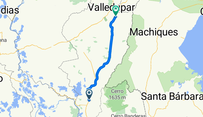
palitas-recreo-la rayita-la evidencia-las vegas-boqueron-hacienda paravera-curumani-villa gracieta-pacita-rincon hondo-arroyo jose-arroyo maquencal-la palmita-arroyo el tigre-arroyo tasajera-la jaqua de ibirico-las minas-becerril-arroyo los espinitos-arroyo vasquez-casacara-la fe-augustin codazzi-el corralito
- -:--
- Duration
- 181 km
- Distance
- 273 m
- Ascent
- 178 m
- Descent
- ---
- Avg. speed
- ---
- Max. altitude
Continue with Bikemap
Use, edit, or download this cycling route
You would like to ride r111 ROAM or customize it for your own trip? Here is what you can do with this Bikemap route:
Free features
- Save this route as favorite or in collections
- Copy & plan your own version of this route
- Split it into stages to create a multi-day tour
- Sync your route with Garmin or Wahoo
Premium features
Free trial for 3 days, or one-time payment. More about Bikemap Premium.
- Navigate this route on iOS & Android
- Export a GPX / KML file of this route
- Create your custom printout (try it for free)
- Download this route for offline navigation
Discover more Premium features.
Get Bikemap PremiumFrom our community
Other popular routes starting in Pailitas
 r111 ROAM
- Distance
- 181 km
- Ascent
- 273 m
- Descent
- 178 m
- Location
- Pailitas, Cesar Department, Colombia
 Day 6: Pailitas to Aguachica
- Distance
- 77.8 km
- Ascent
- 673 m
- Descent
- 565 m
- Location
- Pailitas, Cesar Department, Colombia
Open it in the app