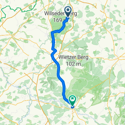
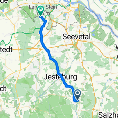
mit Anki los
A cycling route starting in Hanstedt, Lower Saxony, Germany.
Overview
About this route
- 2 h 29 min
- Duration
- 37.2 km
- Distance
- 496 m
- Ascent
- 495 m
- Descent
- 14.9 km/h
- Avg. speed
- ---
- Avg. speed
Route photos
Route quality
Waytypes & surfaces along the route
Waytypes
Path
11.5 km
(31 %)
Track
10.9 km
(29 %)
Surfaces
Paved
7.8 km
(21 %)
Unpaved
12.4 km
(33 %)
Ground
6.3 km
(17 %)
Asphalt
5 km
(13 %)
Continue with Bikemap
Use, edit, or download this cycling route
You would like to ride mit Anki los or customize it for your own trip? Here is what you can do with this Bikemap route:
Free features
- Save this route as favorite or in collections
- Copy & plan your own version of this route
- Sync your route with Garmin or Wahoo
Premium features
Free trial for 3 days, or one-time payment. More about Bikemap Premium.
- Navigate this route on iOS & Android
- Export a GPX / KML file of this route
- Create your custom printout (try it for free)
- Download this route for offline navigation
Discover more Premium features.
Get Bikemap PremiumFrom our community
Other popular routes starting in Hanstedt
- Koehlerteich-parkplatz-nach-Wilsederberg
- Distance
- 29 km
- Ascent
- 282 m
- Descent
- 280 m
- Location
- Hanstedt, Lower Saxony, Germany
- Geländefahrt zum Mittagsschlaf
- Distance
- 21.1 km
- Ascent
- 224 m
- Descent
- 196 m
- Location
- Hanstedt, Lower Saxony, Germany
- Waldbad Runde
- Distance
- 38 km
- Ascent
- 590 m
- Descent
- 590 m
- Location
- Hanstedt, Lower Saxony, Germany
- Hamburg 7 / Lüneburgerheide
- Distance
- 54.1 km
- Ascent
- 550 m
- Descent
- 493 m
- Location
- Hanstedt, Lower Saxony, Germany
- Tour am 18.06.2020
- Distance
- 26.1 km
- Ascent
- 208 m
- Descent
- 208 m
- Location
- Hanstedt, Lower Saxony, Germany
- Hittfeld-Augustenhöhe
- Distance
- 41 km
- Ascent
- 169 m
- Descent
- 169 m
- Location
- Hanstedt, Lower Saxony, Germany
- kl. Heiderunde
- Distance
- 34.4 km
- Ascent
- 246 m
- Descent
- 246 m
- Location
- Hanstedt, Lower Saxony, Germany
- Winsener Straße 57, Hanstedt nach Franz-Barca-Weg 36, Hanstedt
- Distance
- 34.8 km
- Ascent
- 265 m
- Descent
- 257 m
- Location
- Hanstedt, Lower Saxony, Germany
Open it in the app