Le Giro
- 8.8 km
- 697 m
- 42 m
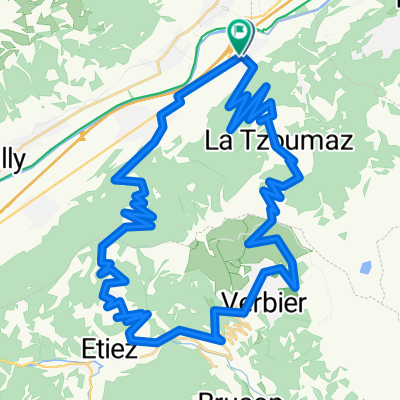
- Riddes, Valais, Switzerland
A cycling route starting in Riddes, Valais, Switzerland.
Overview
Route for athletes, of medium difficulty. Possibility to return by cable car. Beware of the significant elevation gain! Departing from the cable car. Crossing the Mayens, follow the direction of the bisse trail, climb to the clearing of the deer, continue to 'Croix des Établons', continue the route along the slope to Savoleyres. Variant: passable in both directions, this route can also be combined with an ascent or descent by cable car La Tzoumaz - Savoleyres.
created this 4 years ago
Continue with Bikemap
You would like to ride La Tzoumaz, Randonnée à raquettes, La Tzoumaz - Savoleyres (3) or customize it for your own trip? Here is what you can do with this Bikemap route:
Free trial for 3 days, or one-time payment. More about Bikemap Premium.
Discover more Premium features.
Get Bikemap PremiumFrom our community
Open it in the app