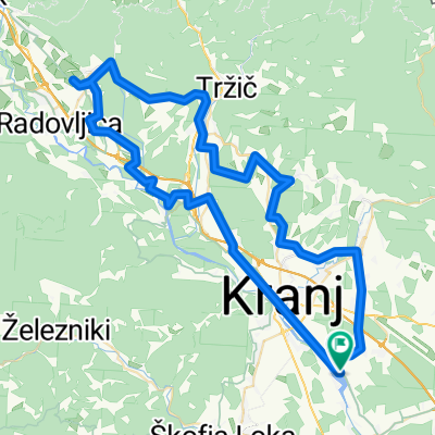
Above the fog MTB
A cycling route starting in Hrastje, Občina Šenčur, Slovenia.
Overview
About this route
- -:--
- Duration
- 35.7 km
- Distance
- 1,051 m
- Ascent
- 1,052 m
- Descent
- ---
- Avg. speed
- ---
- Max. altitude
Route photos
Continue with Bikemap
Use, edit, or download this cycling route
You would like to ride Above the fog MTB or customize it for your own trip? Here is what you can do with this Bikemap route:
Free features
- Save this route as favorite or in collections
- Copy & plan your own version of this route
- Sync your route with Garmin or Wahoo
Premium features
Free trial for 3 days, or one-time payment. More about Bikemap Premium.
- Navigate this route on iOS & Android
- Export a GPX / KML file of this route
- Create your custom printout (try it for free)
- Download this route for offline navigation
Discover more Premium features.
Get Bikemap PremiumFrom our community
Other popular routes starting in Hrastje
- Trboje - Petrovo brdo - sorica - Bled - Trboje
- Distance
- 129.4 km
- Ascent
- 1,170 m
- Descent
- 1,172 m
- Location
- Hrastje, Občina Šenčur, Slovenia
- Trboje-Kozina
- Distance
- 108.4 km
- Ascent
- 1,165 m
- Descent
- 1,004 m
- Location
- Hrastje, Občina Šenčur, Slovenia
- KRANJ - SLOVENJ GRADEC
- Distance
- 110.2 km
- Ascent
- 1,108 m
- Descent
- 1,073 m
- Location
- Hrastje, Občina Šenčur, Slovenia
- Kranj - Rečica ob Savinji
- Distance
- 73.5 km
- Ascent
- 707 m
- Descent
- 719 m
- Location
- Hrastje, Občina Šenčur, Slovenia
- 2x v klanc v2
- Distance
- 61.7 km
- Ascent
- 872 m
- Descent
- 874 m
- Location
- Hrastje, Občina Šenčur, Slovenia
- ena mal naokrog krajša
- Distance
- 66.1 km
- Ascent
- 391 m
- Descent
- 391 m
- Location
- Hrastje, Občina Šenčur, Slovenia
- Kranj-Kr.Gora-Kranj
- Distance
- 146.3 km
- Ascent
- 995 m
- Descent
- 1,001 m
- Location
- Hrastje, Občina Šenčur, Slovenia
- Drulovka - Ljubljanska cesta - Drulovka (tekaška)
- Distance
- 5.9 km
- Ascent
- 27 m
- Descent
- 29 m
- Location
- Hrastje, Občina Šenčur, Slovenia
Open it in the app