

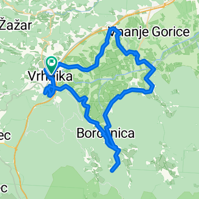
Barje & Ana MTB
A cycling route starting in Vrhnika, Vrhnika, Slovenia.
Overview
About this route
- -:--
- Duration
- 38.1 km
- Distance
- 526 m
- Ascent
- 527 m
- Descent
- ---
- Avg. speed
- ---
- Max. altitude

Route photos


Route quality
Waytypes & surfaces along the route
Waytypes
Track
14.1 km
(37 %)
Quiet road
11.8 km
(31 %)
Surfaces
Paved
13.7 km
(36 %)
Unpaved
15.6 km
(41 %)
Asphalt
11.8 km
(31 %)
Unpaved (undefined)
6.9 km
(18 %)
Continue with Bikemap
Use, edit, or download this cycling route
You would like to ride Barje & Ana MTB or customize it for your own trip? Here is what you can do with this Bikemap route:
Free features
- Save this route as favorite or in collections
- Copy & plan your own version of this route
- Sync your route with Garmin or Wahoo
Premium features
Free trial for 3 days, or one-time payment. More about Bikemap Premium.
- Navigate this route on iOS & Android
- Export a GPX / KML file of this route
- Create your custom printout (try it for free)
- Download this route for offline navigation
Discover more Premium features.
Get Bikemap PremiumFrom our community
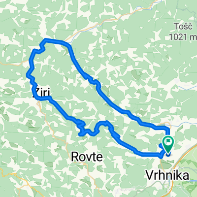
Other popular routes starting in Vrhnika
 Vrhnika-Dobrova-Podpeč-Borovnica-Vrhnika
- Distance
- 50.1 km
- Ascent
- 519 m
- Descent
- 519 m
- Location
- Vrhnika, Vrhnika, Slovenia
 SinjaGorica-Bovec
- Distance
- 113.2 km
- Ascent
- 1,014 m
- Descent
- 846 m
- Location
- Vrhnika, Vrhnika, Slovenia
 LKM Argonavtski dnevi 2022
- Distance
- 44.4 km
- Ascent
- 440 m
- Descent
- 441 m
- Location
- Vrhnika, Vrhnika, Slovenia
 Mokrice 11 and beyond
- Distance
- 60.5 km
- Ascent
- 133 m
- Descent
- 143 m
- Location
- Vrhnika, Vrhnika, Slovenia
 13 set 25 Vhrnika un anno dopo
- Distance
- 54.6 km
- Ascent
- 508 m
- Descent
- 549 m
- Location
- Vrhnika, Vrhnika, Slovenia
 VIC-Menišija-Rakitna-VIC
- Distance
- 50.9 km
- Ascent
- 928 m
- Descent
- 931 m
- Location
- Vrhnika, Vrhnika, Slovenia
 Ligojna 3 kralji Poljanska dolina
- Distance
- 64 km
- Ascent
- 1,734 m
- Descent
- 1,744 m
- Location
- Vrhnika, Vrhnika, Slovenia
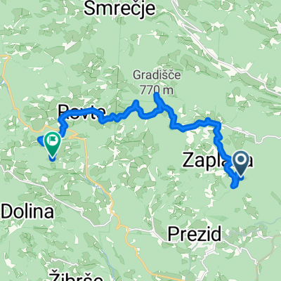 Zaplana, Vrhnika to Rovte, Rovte
- Distance
- 13.2 km
- Ascent
- 375 m
- Descent
- 422 m
- Location
- Vrhnika, Vrhnika, Slovenia
Open it in the app