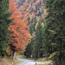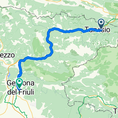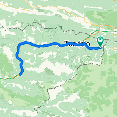
fusine-chiusaforte
- 91.3 km
- 1,703 m
- 1,701 m
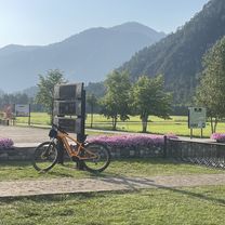
- Tarvisio, Friuli Venezia Giulia, Italy
A cycling route starting in Tarvisio, Friuli Venezia Giulia, Italy.
Overview
created this 4 years ago


Route quality
Cycleway
22.9 km
(30 %)
Path
6.1 km
(8 %)
Paved
62.7 km
(82 %)
Unpaved
2.3 km
(3 %)
Asphalt
62.7 km
(82 %)
Unpaved (undefined)
0.8 km
(1 %)
Continue with Bikemap
You would like to ride Pontebbana & Sella Nevea MTB or customize it for your own trip? Here is what you can do with this Bikemap route:
Free trial for 3 days, or one-time payment. More about Bikemap Premium.
Discover more Premium features.
Get Bikemap PremiumFrom our community
Open it in the app