Flache Runde Bruchsal - Forst - Wiesental - St.Leon
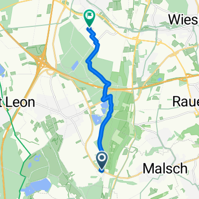
A cycling route starting in Malsch, Baden-Wurttemberg, Germany.
Overview
About this route
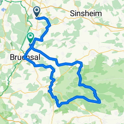
Mit dem Crosser nach Mingolsheim - Ubstadt - Bruchsal - Forst - HambrĂźcken - Wiesental - St.Leon und zurĂźck nach Malschenberg...
- -:--
- Duration
- 49.3 km
- Distance
- 238 m
- Ascent
- 240 m
- Descent
- ---
- Avg. speed
- ---
- Max. altitude
Route quality
Waytypes & surfaces along the route
Waytypes
Path
15.4 km
(31 %)
Track
14 km
(28 %)
Surfaces
Paved
47.7 km
(97 %)
Unpaved
0.2 km
(<1 %)
Asphalt
44.3 km
(90 %)
Paved (undefined)
1.4 km
(3 %)
Continue with Bikemap
Use, edit, or download this cycling route
You would like to ride Flache Runde Bruchsal - Forst - Wiesental - St.Leon or customize it for your own trip? Here is what you can do with this Bikemap route:
Free features
- Save this route as favorite or in collections
- Copy & plan your own version of this route
- Sync your route with Garmin or Wahoo
Premium features
Free trial for 3 days, or one-time payment. More about Bikemap Premium.
- Navigate this route on iOS & Android
- Export a GPX / KML file of this route
- Create your custom printout (try it for free)
- Download this route for offline navigation
Discover more Premium features.
Get Bikemap PremiumFrom our community
Other popular routes starting in Malsch
- Kraichgau 62
- Distance
- 61.6 km
- Ascent
- 576 m
- Descent
- 561 m
- Location
- Malsch, Baden-Wurttemberg, Germany
- Kraichgau 35
- Distance
- 34.2 km
- Ascent
- 309 m
- Descent
- 295 m
- Location
- Malsch, Baden-Wurttemberg, Germany
- Schindelberg - Rhein 65
- Distance
- 65.5 km
- Ascent
- 277 m
- Descent
- 311 m
- Location
- Malsch, Baden-Wurttemberg, Germany
- Rundfahrt um MĂźhlhausen
- Distance
- 22.4 km
- Ascent
- 258 m
- Descent
- 218 m
- Location
- Malsch, Baden-Wurttemberg, Germany
- St Leon-Rot (SAP) - Karlsruhe
- Distance
- 40.8 km
- Ascent
- 55 m
- Descent
- 59 m
- Location
- Malsch, Baden-Wurttemberg, Germany
- Sinsheim 37
- Distance
- 37.1 km
- Ascent
- 327 m
- Descent
- 319 m
- Location
- Malsch, Baden-Wurttemberg, Germany
- MTB BHF Rot - Forst - ROT BHF
- Distance
- 30.9 km
- Ascent
- 51 m
- Descent
- 51 m
- Location
- Malsch, Baden-Wurttemberg, Germany
- Tiefenbach 32
- Distance
- 32.1 km
- Ascent
- 415 m
- Descent
- 409 m
- Location
- Malsch, Baden-Wurttemberg, Germany
Open it in the app