Sommo Bondone desde Besenello
- 98.4 km
- 2,730 m
- 2,730 m
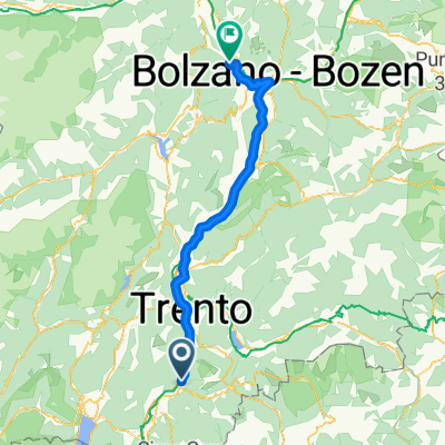
- Besenello, Trentino-Alto Adige, Italy
A cycling route starting in Besenello, Trentino-Alto Adige, Italy.
Overview
We start by climbing the passo Sommo, which goes through Folgaria (where Evans lost the Giro 2002). In Folgaria, we take a right turn towards Passo Coe. On the descent towards Trento, we pass by Passo Fricca. In Trento, we begin the climb up Monte Bondone.
The hardest climb to Bondone happens if we reverse the route.
We start the route at Hotel Castel Beseno.
Arriving at the finish line, we need to be attentive to correctly crossing the highway.
created this 14 years ago
Route quality
Road
10.8 km
(11 %)
Track
7.9 km
(8 %)
Paved
84.6 km
(86 %)
Unpaved
2 km
(2 %)
Asphalt
84.6 km
(86 %)
Gravel
1 km
(1 %)
Continue with Bikemap
You would like to ride Sommo Bondone desde Besenello or customize it for your own trip? Here is what you can do with this Bikemap route:
Free trial for 3 days, or one-time payment. More about Bikemap Premium.
Discover more Premium features.
Get Bikemap PremiumFrom our community
Open it in the app