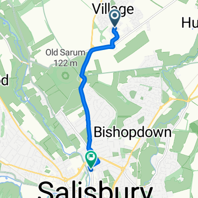
50–68 Roger Way, Old Sarum, Salisbury to 225 Goodwin Close, Warminster
- 38 km
- 374 m
- 327 m
- Woodford, England, United Kingdom
A cycling route starting in Woodford, England, United Kingdom.
Overview
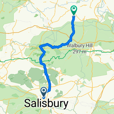
This is the route from Castlerigg Stone Circle in the Lakes to Stonehenge. It is 555 km passing a number of neolithic historic stone circles, megaliths and rock art. The route follows a broadly N-S orinetation and could be a route taken by Neolithic people on their journey to Stonehenge for the Winter Solstice.
created this 4 years ago
Route quality
Road
246.4 km
(37 %)
Quiet road
233.1 km
(35 %)
Paved
306.4 km
(46 %)
Unpaved
40 km
(6 %)
Asphalt
286.4 km
(43 %)
Gravel
33.3 km
(5 %)
Continue with Bikemap
You would like to ride Way of the Rings or customize it for your own trip? Here is what you can do with this Bikemap route:
Free trial for 3 days, or one-time payment. More about Bikemap Premium.
Discover more Premium features.
Get Bikemap PremiumFrom our community
Open it in the app