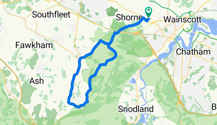


Cobham New 20 (30)
- 30.1 km
- 253 m
- 252 m
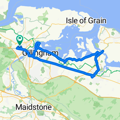
- Strood, England, United Kingdom
A cycling route starting in Strood, England, United Kingdom.
Overview
created this 4 years ago
Route quality
Road
16 km
(53 %)
Quiet road
9 km
(30 %)
Paved
15.7 km
(52 %)
Asphalt
15.7 km
(52 %)
Undefined
14.5 km
(48 %)
Continue with Bikemap
You would like to ride Cobham New 20 (30) or customize it for your own trip? Here is what you can do with this Bikemap route:
Free trial for 3 days, or one-time payment. More about Bikemap Premium.
Discover more Premium features.
Get Bikemap PremiumFrom our community
Open it in the app