

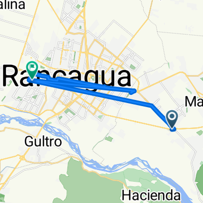
De San Juan 16, Machalí a El Sol 1955, Rancagua
A cycling route starting in Machalí, O'Higgins Region, Chile.
Overview
About this route
- 37 min
- Duration
- 8 km
- Distance
- 32 m
- Ascent
- 130 m
- Descent
- 12.9 km/h
- Avg. speed
- ---
- Max. altitude

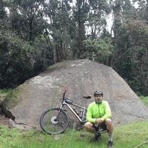
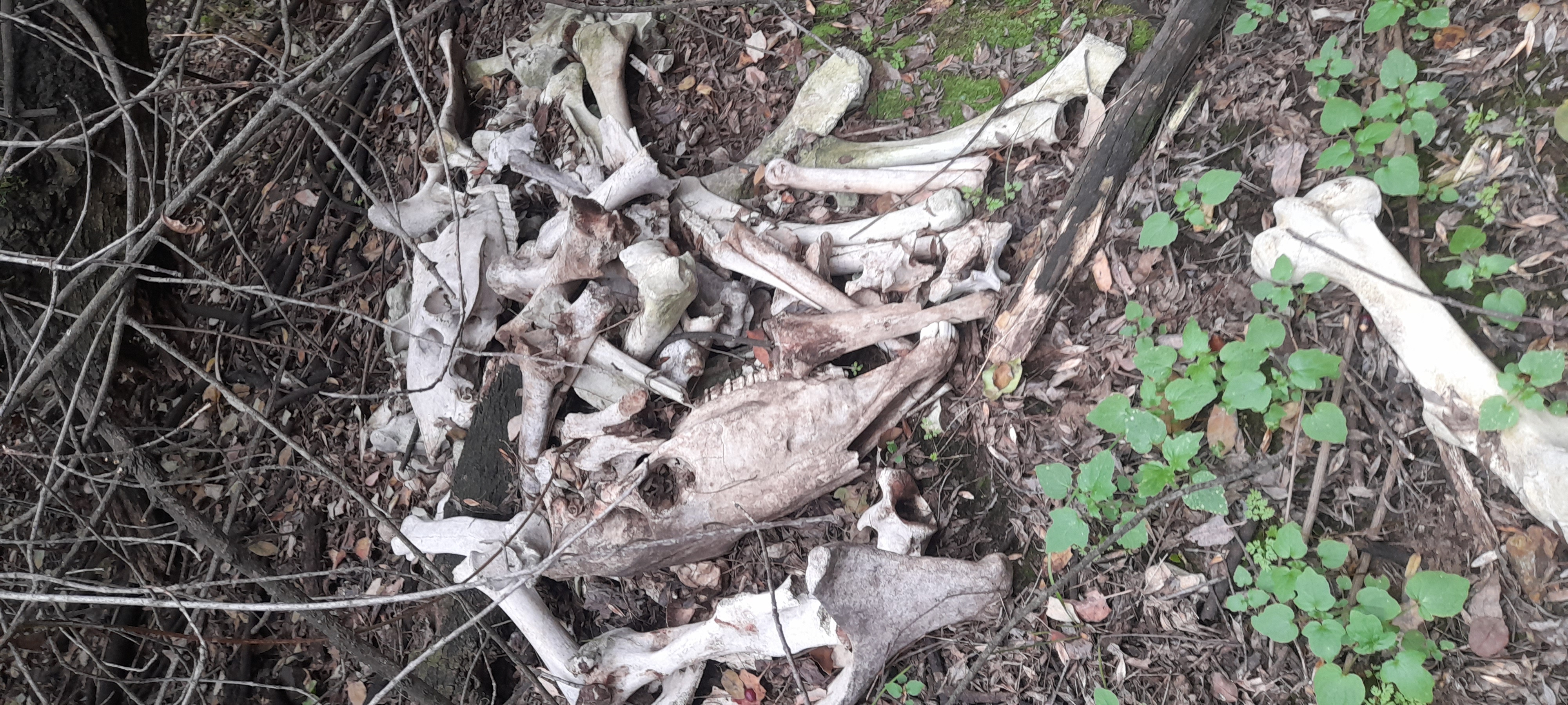
Route photos


Route quality
Waytypes & surfaces along the route
Waytypes
Cycleway
5 km
(63 %)
Road
0.6 km
(8 %)
Surfaces
Paved
6.8 km
(85 %)
Paved (undefined)
4.5 km
(56 %)
Concrete
1.4 km
(17 %)
Continue with Bikemap
Use, edit, or download this cycling route
You would like to ride De San Juan 16, Machalí a El Sol 1955, Rancagua or customize it for your own trip? Here is what you can do with this Bikemap route:
Free features
- Save this route as favorite or in collections
- Copy & plan your own version of this route
- Sync your route with Garmin or Wahoo
Premium features
Free trial for 3 days, or one-time payment. More about Bikemap Premium.
- Navigate this route on iOS & Android
- Export a GPX / KML file of this route
- Create your custom printout (try it for free)
- Download this route for offline navigation
Discover more Premium features.
Get Bikemap PremiumFrom our community
Other popular routes starting in Machalí
 De San Juan 16, Machalí a El Sol 1955, Rancagua
- Distance
- 8 km
- Ascent
- 32 m
- Descent
- 130 m
- Location
- Machalí, O'Higgins Region, Chile
 desde portones cerro san juan 12 de febrero hasta los portones
- Distance
- 14.4 km
- Ascent
- 862 m
- Descent
- 313 m
- Location
- Machalí, O'Higgins Region, Chile
 los maquis
- Distance
- 8.6 km
- Ascent
- 91 m
- Descent
- 458 m
- Location
- Machalí, O'Higgins Region, Chile
 Recording from 3 de diciembre 18:37
- Distance
- 35.6 km
- Ascent
- 908 m
- Descent
- 908 m
- Location
- Machalí, O'Higgins Region, Chile
 De Avenida San Juan a Tiziano Vicellio
- Distance
- 11.5 km
- Ascent
- 54 m
- Descent
- 119 m
- Location
- Machalí, O'Higgins Region, Chile
 Ruta supersónica
- Distance
- 24.1 km
- Ascent
- 147 m
- Descent
- 249 m
- Location
- Machalí, O'Higgins Region, Chile
 descenso en bici
- Distance
- 13.2 km
- Ascent
- 173 m
- Descent
- 465 m
- Location
- Machalí, O'Higgins Region, Chile
 trekking los maquis
- Distance
- 6.6 km
- Ascent
- 132 m
- Descent
- 202 m
- Location
- Machalí, O'Higgins Region, Chile
Open it in the app