Lindhorst - Wolmirstedt - Elbeu - Barleben - Magdeburg Neustädter See - Barleber See - Glindenberg - Wolmirstedt - Mose - Lindhorst
- 44.2 km
- 64 m
- 64 m
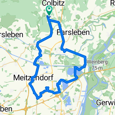
- Colbitz, Saxony-Anhalt, Germany
A cycling route starting in Colbitz, Saxony-Anhalt, Germany.
Overview
on good roads to the Elbe in Rogätz, along the Elbe Cycle Path to Sandkrug; back via Angern and Colbitz to Lindhorst
created this 14 years ago
Route quality
Road
13.4 km
(36 %)
Track
4.5 km
(12 %)
Paved
29.7 km
(80 %)
Unpaved
1.5 km
(4 %)
Asphalt
29.3 km
(79 %)
Ground
1.5 km
(4 %)
Continue with Bikemap
You would like to ride rund ums Kaliwerk or customize it for your own trip? Here is what you can do with this Bikemap route:
Free trial for 3 days, or one-time payment. More about Bikemap Premium.
Discover more Premium features.
Get Bikemap PremiumFrom our community
Open it in the app