

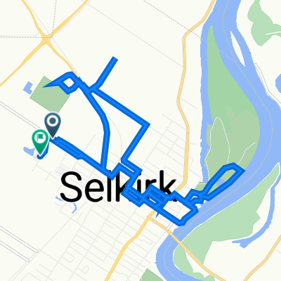
highway no.1
A cycling route starting in Selkirk, Manitoba, Canada.
Overview
About this route
- -:--
- Duration
- 21.4 km
- Distance
- 17 m
- Ascent
- 30 m
- Descent
- ---
- Avg. speed
- ---
- Max. altitude
Route quality
Waytypes & surfaces along the route
Waytypes
Quiet road
13.5 km
(63 %)
Access road
1.1 km
(5 %)
Surfaces
Paved
9.2 km
(43 %)
Paved (undefined)
9.2 km
(43 %)
Undefined
12.2 km
(57 %)
Continue with Bikemap
Use, edit, or download this cycling route
You would like to ride highway no.1 or customize it for your own trip? Here is what you can do with this Bikemap route:
Free features
- Save this route as favorite or in collections
- Copy & plan your own version of this route
- Sync your route with Garmin or Wahoo
Premium features
Free trial for 3 days, or one-time payment. More about Bikemap Premium.
- Navigate this route on iOS & Android
- Export a GPX / KML file of this route
- Create your custom printout (try it for free)
- Download this route for offline navigation
Discover more Premium features.
Get Bikemap PremiumFrom our community
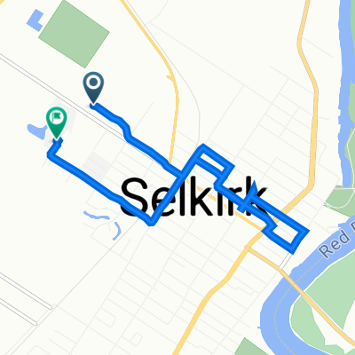
Other popular routes starting in Selkirk
 Manitoba Avenue 806, Selkirk to Bell Bay 36, Selkirk
- Distance
- 12.5 km
- Ascent
- 39 m
- Descent
- 7 m
- Location
- Selkirk, Manitoba, Canada
 Purvis Boulevard 394, Gimli to Belanger Place 29, Selkirk
- Distance
- 13.9 km
- Ascent
- 40 m
- Descent
- 14 m
- Location
- Selkirk, Manitoba, Canada
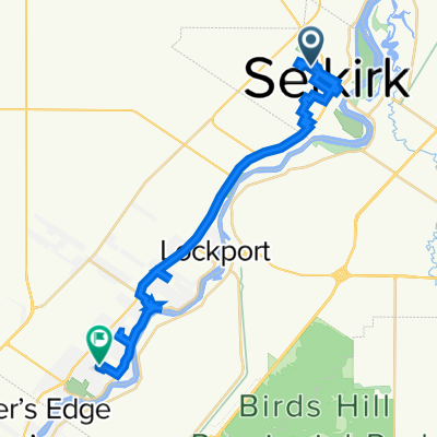
 Van Mol Road 21, Saint Andrews to Van Mol Road 3, Saint Andrews
- Distance
- 102.1 km
- Ascent
- 496 m
- Descent
- 495 m
- Location
- Selkirk, Manitoba, Canada
 highway no.1
- Distance
- 21.4 km
- Ascent
- 17 m
- Descent
- 30 m
- Location
- Selkirk, Manitoba, Canada
 Short bike tour through Birds Hill
- Distance
- 9.7 km
- Ascent
- 12 m
- Descent
- 12 m
- Location
- Selkirk, Manitoba, Canada
 Manitoba Avenue 847, Selkirk to Belanger Place 29, Selkirk
- Distance
- 5.9 km
- Ascent
- 28 m
- Descent
- 3 m
- Location
- Selkirk, Manitoba, Canada
 greater lake winnipeg to brainerd switch mb
- Distance
- 119.9 km
- Ascent
- 89 m
- Descent
- 102 m
- Location
- Selkirk, Manitoba, Canada
 Manitoba Avenue 800, Selkirk to Highland Drive 45, Saint Andrews
- Distance
- 32.3 km
- Ascent
- 180 m
- Descent
- 177 m
- Location
- Selkirk, Manitoba, Canada
Open it in the app