Walensee-Rorschach
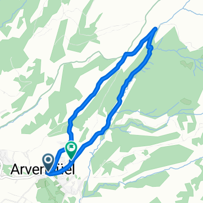
A cycling route starting in Amden, Canton of St. Gallen, Switzerland.
Overview
About this route
- -:--
- Duration
- 93.8 km
- Distance
- 120 m
- Ascent
- 160 m
- Descent
- ---
- Avg. speed
- 490 m
- Max. altitude
Route quality
Waytypes & surfaces along the route
Waytypes
Quiet road
28.7 km
(31 %)
Track
26.7 km
(28 %)
Surfaces
Paved
88.6 km
(95 %)
Unpaved
5.1 km
(5 %)
Asphalt
88.3 km
(94 %)
Gravel
4.2 km
(4 %)
Continue with Bikemap
Use, edit, or download this cycling route
You would like to ride Walensee-Rorschach or customize it for your own trip? Here is what you can do with this Bikemap route:
Free features
- Save this route as favorite or in collections
- Copy & plan your own version of this route
- Split it into stages to create a multi-day tour
- Sync your route with Garmin or Wahoo
Premium features
Free trial for 3 days, or one-time payment. More about Bikemap Premium.
- Navigate this route on iOS & Android
- Export a GPX / KML file of this route
- Create your custom printout (try it for free)
- Download this route for offline navigation
Discover more Premium features.
Get Bikemap PremiumFrom our community
Other popular routes starting in Amden
- Walensee-Rorschach
- Distance
- 93.8 km
- Ascent
- 120 m
- Descent
- 160 m
- Location
- Amden, Canton of St. Gallen, Switzerland
- and2b
- Distance
- 8.8 km
- Ascent
- 59 m
- Descent
- 726 m
- Location
- Amden, Canton of St. Gallen, Switzerland
- Betliserstrasse, Weesen nach Bahnhofstrasse 7, Niederurnen
- Distance
- 9.4 km
- Ascent
- 302 m
- Descent
- 289 m
- Location
- Amden, Canton of St. Gallen, Switzerland
- Dorfstrasse 24, Amden nach Starkenbach 12, Alt St. Johann
- Distance
- 15.9 km
- Ascent
- 726 m
- Descent
- 730 m
- Location
- Amden, Canton of St. Gallen, Switzerland
- Dorflistrasse Mühletal, Mühlehorn nach Hüttenbergstrasse 11, Obstalden
- Distance
- 5.2 km
- Ascent
- 833 m
- Descent
- 573 m
- Location
- Amden, Canton of St. Gallen, Switzerland
- Amden - Zug CH
- Distance
- 67.2 km
- Ascent
- 360 m
- Descent
- 856 m
- Location
- Amden, Canton of St. Gallen, Switzerland
- CSW2013 Tag2 Sarnen
- Distance
- 112.1 km
- Ascent
- 1,292 m
- Descent
- 1,763 m
- Location
- Amden, Canton of St. Gallen, Switzerland
- Vorder Höhi - Kunkelspass
- Distance
- 170.8 km
- Ascent
- 2,136 m
- Descent
- 2,171 m
- Location
- Amden, Canton of St. Gallen, Switzerland
Open it in the app