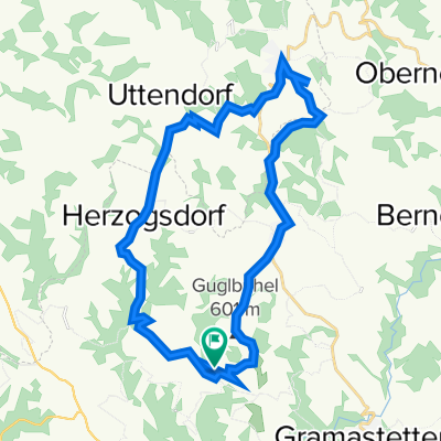
Laufstrecke Rodltal
A cycling route starting in Sankt Gotthard im Mühlkreis, Upper Austria, Austria.
Overview
About this route
Pure running track - especially in winter, very selective and nice.
- -:--
- Duration
- 9.7 km
- Distance
- 327 m
- Ascent
- 326 m
- Descent
- ---
- Avg. speed
- ---
- Max. altitude
Continue with Bikemap
Use, edit, or download this cycling route
You would like to ride Laufstrecke Rodltal or customize it for your own trip? Here is what you can do with this Bikemap route:
Free features
- Save this route as favorite or in collections
- Copy & plan your own version of this route
- Sync your route with Garmin or Wahoo
Premium features
Free trial for 3 days, or one-time payment. More about Bikemap Premium.
- Navigate this route on iOS & Android
- Export a GPX / KML file of this route
- Create your custom printout (try it for free)
- Download this route for offline navigation
Discover more Premium features.
Get Bikemap PremiumFrom our community
Other popular routes starting in Sankt Gotthard im Mühlkreis
- Laufstrecke Rodltal
- Distance
- 9.7 km
- Ascent
- 327 m
- Descent
- 326 m
- Location
- Sankt Gotthard im Mühlkreis, Upper Austria, Austria
- Rottenegg-Feldkirchen-Ottensheim-Rottenegg (Asphalt)
- Distance
- 37.5 km
- Ascent
- 72 m
- Descent
- 71 m
- Location
- Sankt Gotthard im Mühlkreis, Upper Austria, Austria
- gerling
- Distance
- 32.8 km
- Ascent
- 76 m
- Descent
- 274 m
- Location
- Sankt Gotthard im Mühlkreis, Upper Austria, Austria
- Oberreumühle 3, Wieshof nach Oberreumühle 3, Wieshof
- Distance
- 26.7 km
- Ascent
- 683 m
- Descent
- 684 m
- Location
- Sankt Gotthard im Mühlkreis, Upper Austria, Austria
- Rottenegg - St. Martin - Neußerling
- Distance
- 62.9 km
- Ascent
- 875 m
- Descent
- 873 m
- Location
- Sankt Gotthard im Mühlkreis, Upper Austria, Austria
- Rottenegg-Gramastetten-Eidenberg-GIS (Asphalt)
- Distance
- 32.8 km
- Ascent
- 772 m
- Descent
- 772 m
- Location
- Sankt Gotthard im Mühlkreis, Upper Austria, Austria
- Obereschelberg-Neußerling
- Distance
- 36.5 km
- Ascent
- 707 m
- Descent
- 707 m
- Location
- Sankt Gotthard im Mühlkreis, Upper Austria, Austria
- Rottenegg-Feldkirchen-Ottensheim-Rottenegg (Asphalt)
- Distance
- 37.5 km
- Ascent
- 95 m
- Descent
- 94 m
- Location
- Sankt Gotthard im Mühlkreis, Upper Austria, Austria
Open it in the app