

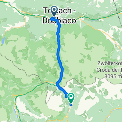
From Dobbiaco to Misurina Lake
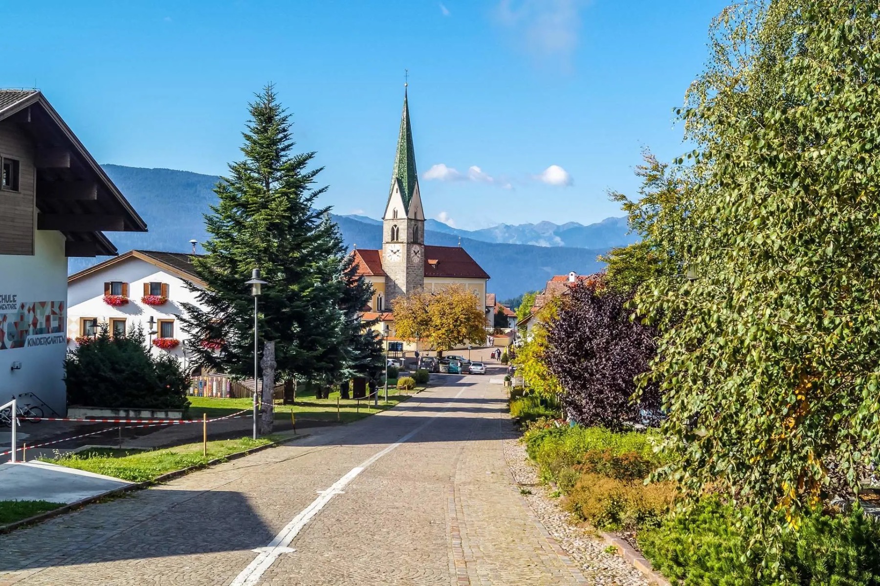
A cycling route starting in Toblach, Trentino-Alto Adige, Italy.
Overview
About this route
Note that there is also a beatiful asphalt-gravel mixed bikepath away from the road that connects the two towns. One of the most easy and traditional bikepaths in the Dolomites, with a stunning view of the DreiZinnen (Tre Cime di Lavaredo) in Misurina.
- -:--
- Duration
- 21.2 km
- Distance
- 591 m
- Ascent
- 63 m
- Descent
- ---
- Avg. speed
- ---
- Max. altitude

Route quality
Waytypes & surfaces along the route
Waytypes
Track
1.1 km
(5 %)
Path
0.8 km
(4 %)
Surfaces
Paved
19.5 km
(92 %)
Unpaved
1.3 km
(6 %)
Asphalt
19.5 km
(92 %)
Unpaved (undefined)
0.6 km
(3 %)
Continue with Bikemap
Use, edit, or download this cycling route
You would like to ride From Dobbiaco to Misurina Lake or customize it for your own trip? Here is what you can do with this Bikemap route:
Free features
- Save this route as favorite or in collections
- Copy & plan your own version of this route
- Sync your route with Garmin or Wahoo
Premium features
Free trial for 3 days, or one-time payment. More about Bikemap Premium.
- Navigate this route on iOS & Android
- Export a GPX / KML file of this route
- Create your custom printout (try it for free)
- Download this route for offline navigation
Discover more Premium features.
Get Bikemap PremiumFrom our community
Other popular routes starting in Toblach
 Un Passo dal Cielo Agosto 2021-Dobbiaco, lago di Braies
- Distance
- 15.7 km
- Ascent
- 502 m
- Descent
- 200 m
- Location
- Toblach, Trentino-Alto Adige, Italy
 Markinkele
- Distance
- 51.1 km
- Ascent
- 1,443 m
- Descent
- 1,443 m
- Location
- Toblach, Trentino-Alto Adige, Italy
 Drauradweg Toblach - Lienz
- Distance
- 45.9 km
- Ascent
- 475 m
- Descent
- 1,011 m
- Location
- Toblach, Trentino-Alto Adige, Italy
 From Dobbiaco to Misurina Lake
- Distance
- 21.2 km
- Ascent
- 591 m
- Descent
- 63 m
- Location
- Toblach, Trentino-Alto Adige, Italy
 3. etappe, 12. mai, Dobbiacio til Cortina d’Ampezzo
- Distance
- 30.2 km
- Ascent
- 539 m
- Descent
- 536 m
- Location
- Toblach, Trentino-Alto Adige, Italy
 Toblach - Cortina d'Ampezzo - Toblach
- Distance
- 63.9 km
- Ascent
- 685 m
- Descent
- 735 m
- Location
- Toblach, Trentino-Alto Adige, Italy
 Dobbiaco - Calalzo di Cadore
- Distance
- 63 km
- Ascent
- 325 m
- Descent
- 851 m
- Location
- Toblach, Trentino-Alto Adige, Italy
 Toblach to Brixen - etappe 1 tdf 2025
- Distance
- 75 km
- Ascent
- 1,408 m
- Descent
- 2,062 m
- Location
- Toblach, Trentino-Alto Adige, Italy
Open it in the app