Historic A61, A6
- 327.6 km
- 676 m
- 611 m
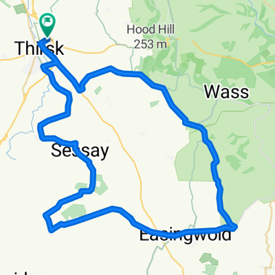
- Thirsk, England, United Kingdom
A cycling route starting in Thirsk, England, United Kingdom.
Overview
The original Midland Main Road before M1.
created this 4 years ago
Continue with Bikemap
You would like to ride Historic A61, A6 or customize it for your own trip? Here is what you can do with this Bikemap route:
Free trial for 3 days, or one-time payment. More about Bikemap Premium.
Discover more Premium features.
Get Bikemap PremiumFrom our community
Open it in the app