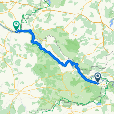
Rund um Schnackenburg
- 75.8 km
- 85 m
- 99 m
- Gartow, Lower Saxony, Germany
A cycling route starting in Gartow, Lower Saxony, Germany.
Overview
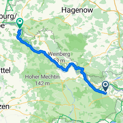
Route of about 160 km (approximately 112 km as the crow flies). It is shorter via Uelzen, but also busier. Recommended stops in Clenze (my tip: Bike Hostel Machelhof) and Bad Bodenteich. Flat route, mostly asphalt, with some short sections on field/forest paths.
created this 14 years ago
Continue with Bikemap
You would like to ride Gartow - Neuenkirchen or customize it for your own trip? Here is what you can do with this Bikemap route:
Free trial for 3 days, or one-time payment. More about Bikemap Premium.
Discover more Premium features.
Get Bikemap PremiumFrom our community
Open it in the app