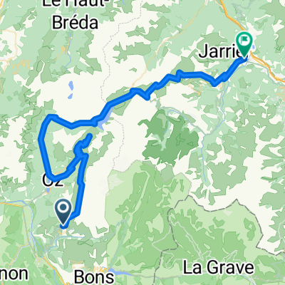
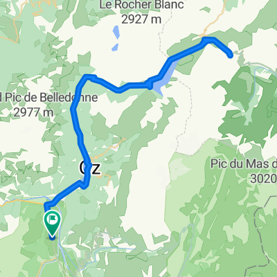
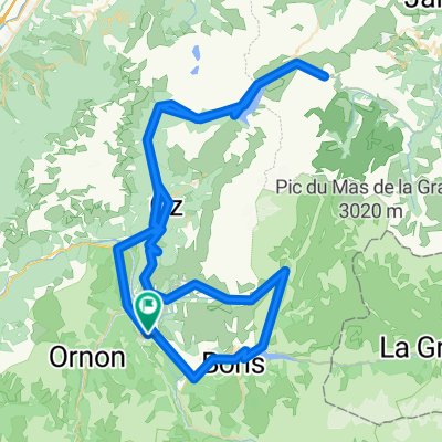
COL DU SABOT (por Vaujany)
A cycling route starting in Huez, Auvergne-Rh么ne-Alpes, France.
Overview
About this route
- -:--
- Duration
- 14.5 km
- Distance
- 1,299 m
- Ascent
- 0 m
- Descent
- ---
- Avg. speed
- ---
- Max. altitude
Route quality
Waytypes & surfaces along the route
Waytypes
Quiet road
9.6 km
(66 %)
Road
4.8 km
(33 %)
Path
0.1 km
(1 %)
Surfaces
Paved
13.6 km
(94 %)
Unpaved
0.1 km
(1 %)
Asphalt
13.6 km
(94 %)
Ground
0.1 km
(1 %)
Undefined
0.7 km
(5 %)
Continue with Bikemap
Use, edit, or download this cycling route
You would like to ride COL DU SABOT (por Vaujany) or customize it for your own trip? Here is what you can do with this Bikemap route:
Free features
- Save this route as favorite or in collections
- Copy & plan your own version of this route
- Sync your route with Garmin or Wahoo
Premium features
Free trial for 3 days, or one-time payment. More about Bikemap Premium.
- Navigate this route on iOS & Android
- Export a GPX / KML file of this route
- Create your custom printout (try it for free)
- Download this route for offline navigation
Discover more Premium features.
Get Bikemap PremiumFrom our community
Other popular routes starting in Huez
Glandon/Croix de Fer - Alpe d'Huez - Sarenne- Distance
- 122.4 km
- Ascent
- 2,642 m
- Descent
- 2,643 m
- Location
- Huez, Auvergne-Rh么ne-Alpes, France
Are you crazy?!- Distance
- 128.9 km
- Ascent
- 3,244 m
- Descent
- 3,244 m
- Location
- Huez, Auvergne-Rh么ne-Alpes, France
Day 7 - Alpe d'Huez, Col Du Sabot, Glandon- Distance
- 80.9 km
- Ascent
- 3,674 m
- Descent
- 4,932 m
- Location
- Huez, Auvergne-Rh么ne-Alpes, France
Rhone-Alpes: Etappe 4- Distance
- 99.6 km
- Ascent
- 1,771 m
- Descent
- 2,412 m
- Location
- Huez, Auvergne-Rh么ne-Alpes, France
Bd`O: lange Runde nach S眉d-Westen- Distance
- 115.7 km
- Ascent
- 2,309 m
- Descent
- 2,309 m
- Location
- Huez, Auvergne-Rh么ne-Alpes, France
Croix de Fer (Glandon)- Distance
- 80.5 km
- Ascent
- 1,842 m
- Descent
- 1,842 m
- Location
- Huez, Auvergne-Rh么ne-Alpes, France
Bourg d'oisans - Col de la Mort - Col d'Ornon- Distance
- 103.6 km
- Ascent
- 1,829 m
- Descent
- 1,831 m
- Location
- Huez, Auvergne-Rh么ne-Alpes, France
Tour "La Marmotte"- Distance
- 191.4 km
- Ascent
- 4,452 m
- Descent
- 4,448 m
- Location
- Huez, Auvergne-Rh么ne-Alpes, France
Open it in the app


