Reign 1
- 20 km
- 578 m
- 581 m
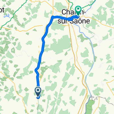
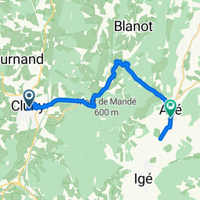
- Cluny, Bourgogne-Franche-Comté, France
A cycling route starting in Cluny, Bourgogne-Franche-Comté, France.
Overview
Planned Camino de Santiago route with tips for cyclists:
Dumont-aktiv
Hiking on the Camino de Santiago from Trier to Le Puy
created this 14 years ago
Route quality
Quiet road
4 km
(7 %)
Road
2.9 km
(5 %)
Paved
17.7 km
(31 %)
Asphalt
17.7 km
(31 %)
Undefined
39.5 km
(69 %)
Route highlights
Le Pavillon 14 - 22:00
Continue with Bikemap
You would like to ride Toul Le-Puy Etappe 6 Cluny Proprières or customize it for your own trip? Here is what you can do with this Bikemap route:
Free trial for 3 days, or one-time payment. More about Bikemap Premium.
Discover more Premium features.
Get Bikemap PremiumFrom our community
Open it in the app