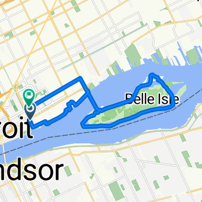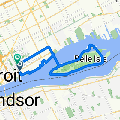


Delray & Midtown
- 32.9 km
- 60 m
- 61 m
- Detroit, Michigan, United States
A cycling route starting in Detroit, Michigan, United States.
Overview
created this 4 years ago
Route quality
Road
8.7 km
(44 %)
Quiet road
7.7 km
(39 %)
Paved
1.8 km
(9 %)
Unpaved
0.4 km
(2 %)
Asphalt
1.2 km
(6 %)
Concrete
0.6 km
(3 %)
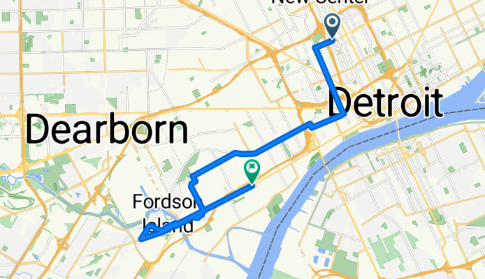
Route highlights
Western International High School
Woodmere Cemetery
Detroit Water & Sewage
Fort Street Bridge
Various Manufacturing & Steel Plants (i.e. Ford)
Marathon Refinery
Zug Island
Gordie Howe Construction Area
EPA Monitoring Station
Continue with Bikemap
You would like to ride Detroit PUFP Field Campaign w/ POI or customize it for your own trip? Here is what you can do with this Bikemap route:
Free trial for 3 days, or one-time payment. More about Bikemap Premium.
Discover more Premium features.
Get Bikemap PremiumFrom our community
Open it in the app