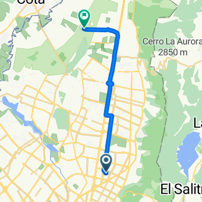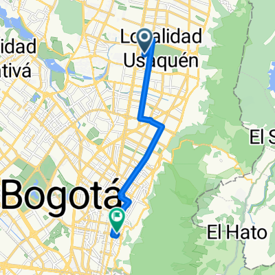
Calle 104, Bogotá to Avenida Carrera 17, Bogotá
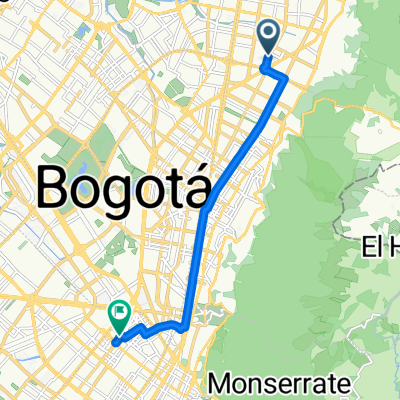
- 5.6 km
- 29 m
- 24 m
- Barrio San Luis, Bogota D.C., Colombia
A cycling route starting in Barrio San Luis, Bogota D.C., Colombia.
Overview
created this 4 years ago
Route quality
Cycleway
2.5 km
(20 %)
Quiet road
0.6 km
(5 %)
Paved
10.3 km
(83 %)
Asphalt
9.1 km
(73 %)
Paved (undefined)
1.2 km
(10 %)
Undefined
2.1 km
(17 %)
Continue with Bikemap
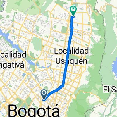
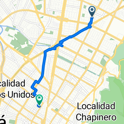
You would like to ride De AV. C. de Cali - CL 72B, Bogotá a Calle 48a Sur 80-16, Bogotá or customize it for your own trip? Here is what you can do with this Bikemap route:
Free trial for 3 days, or one-time payment. More about Bikemap Premium.
Discover more Premium features.
Get Bikemap PremiumFrom our community
Open it in the app