Gränichen,Brugg, Döttingen, Schlatt, Veltheim, Auenstein, Suhr Gänichen
- 72.5 km
- 429 m
- 429 m
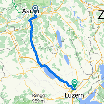
- Suhr, Canton of Aargau, Switzerland
A-Suhr-Leutwil-Seon
A cycling route starting in Suhr, Canton of Aargau, Switzerland.
Overview
created this 4 years ago
Part of
A-Suhr-Leutwil-Seon
1 stage
Route quality
Quiet road
16.3 km
(45 %)
Track
10.2 km
(28 %)
Paved
22.1 km
(61 %)
Unpaved
4.7 km
(13 %)
Asphalt
18.9 km
(52 %)
Gravel
4 km
(11 %)
Continue with Bikemap
You would like to ride A-Suhr-Leutwil-Seon or customize it for your own trip? Here is what you can do with this Bikemap route:
Free trial for 3 days, or one-time payment. More about Bikemap Premium.
Discover more Premium features.
Get Bikemap PremiumFrom our community
Open it in the app