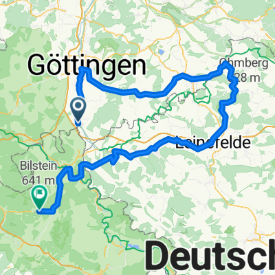
Melli25_T1
- 48.1 km
- 292 m
- 286 m
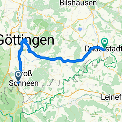
- Gemeinde Friedland, Lower Saxony, Germany
Our autumn route to Bad Karlshafen through the Solling
Quiet road
31.1 km21 %Road
22.2 km15 %Paved
117.1 km(79 %)Unpaved
13.3 km(9 %)Asphalt
115.6 km78 %Gravel
10.4 km7 %Free trial for 3 days, or one-time payment. More about Bikemap Premium.
Discover more Premium features.
Get Bikemap PremiumOpen it in the app